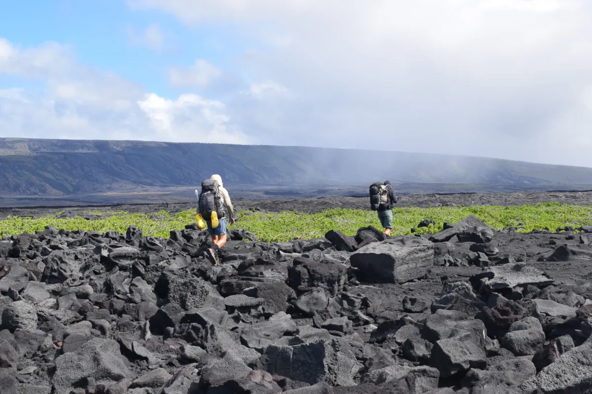
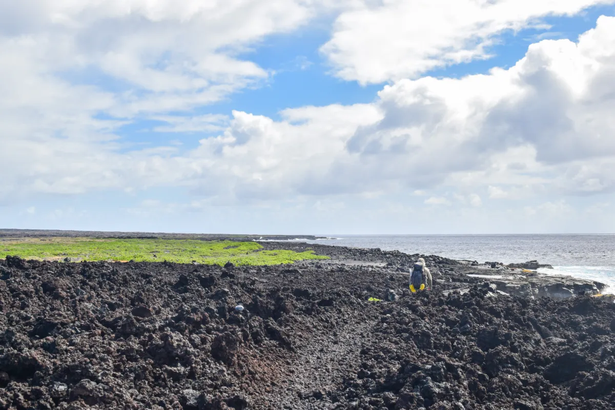
Spending 3 nights in the coastal backcountry of Hawaiʻi Volcanoes National Park is one of the most unique ways to experience the park, combining remote ocean campsites with long, exposed hikes across lava fields. Recently we completed a 21 mile, 4 day trip, with camping at Kaʻaha and Halapē.
If you’re planning your own visit, but won't be exploring the backcountry. Explore our full list of Hawaiʻi Volcanoes National Park Tours to see the many other great ways to experience this incredible area, from guided hikes to scenic evening excursions.
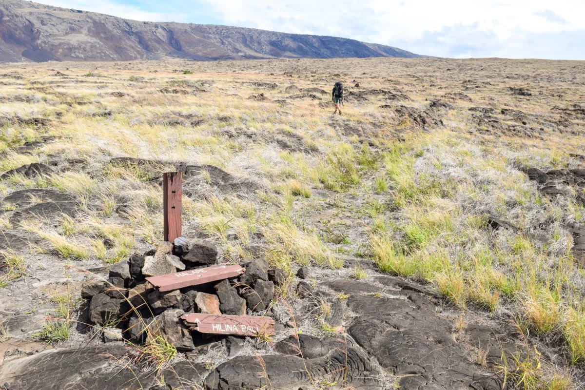
Our first day started with picking up our pre-reserved backcountry permits from the park office right inside the entrance of the park. The process was straightforward and efficient. Rangers confirmed that we had a plan to treat water, shared the most recent water tank levels at both sites, and asked about our intended route. One notable point during the briefing was the repeated emphasis on tsunami evacuation routes. While tsunami risk is always present in Hawaiʻi, the ranger spent more time than expected explaining evacuation procedures from the coastal campsites. It stood out compared to typical backcountry briefings and is worth taking seriously when planning your stay. From the permit office, we drove out to Hilina Pali Road and staged our start at Hilina Pali Overlook. Ryan, Joe, and our backpacks were dropped there at the trailhead.
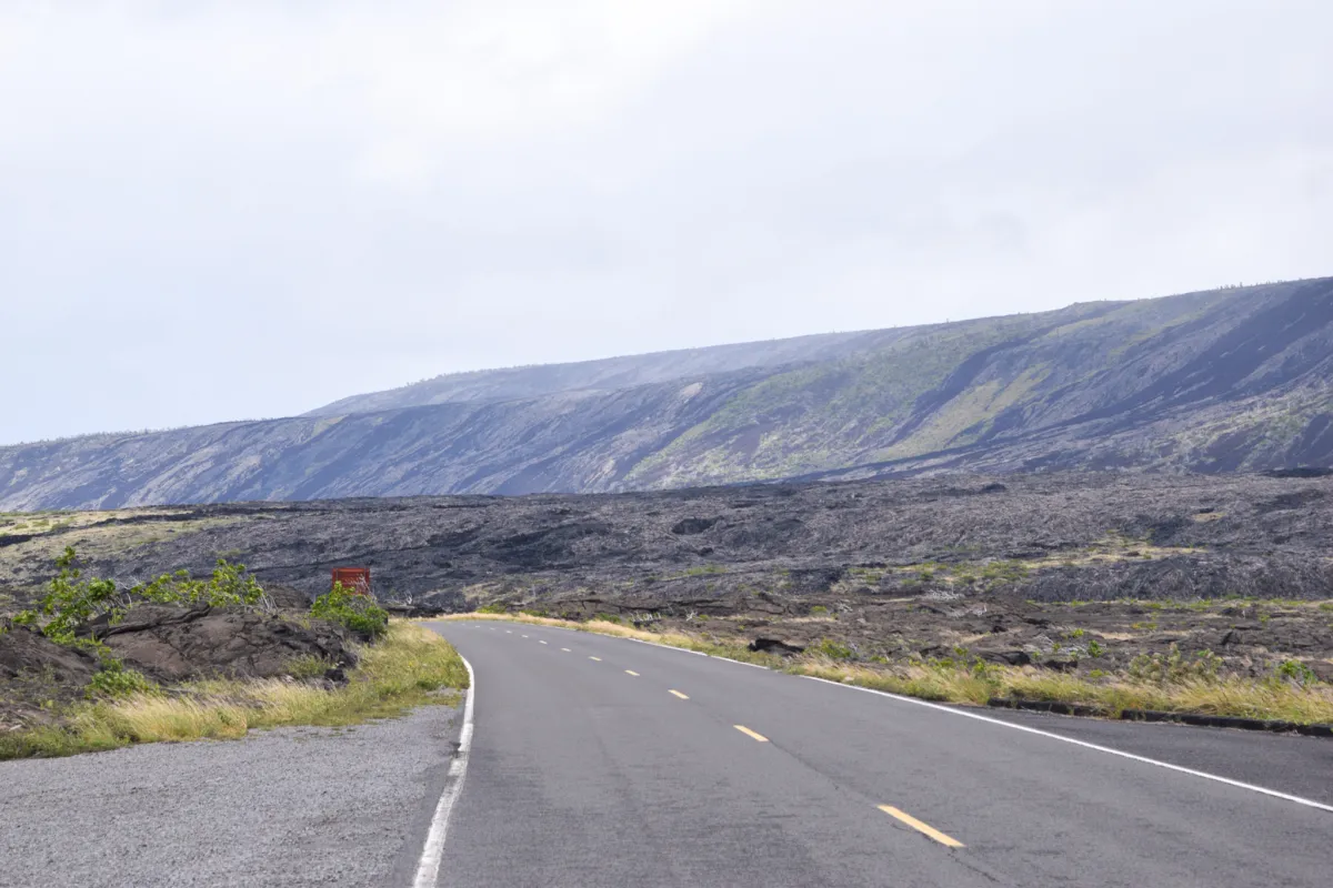
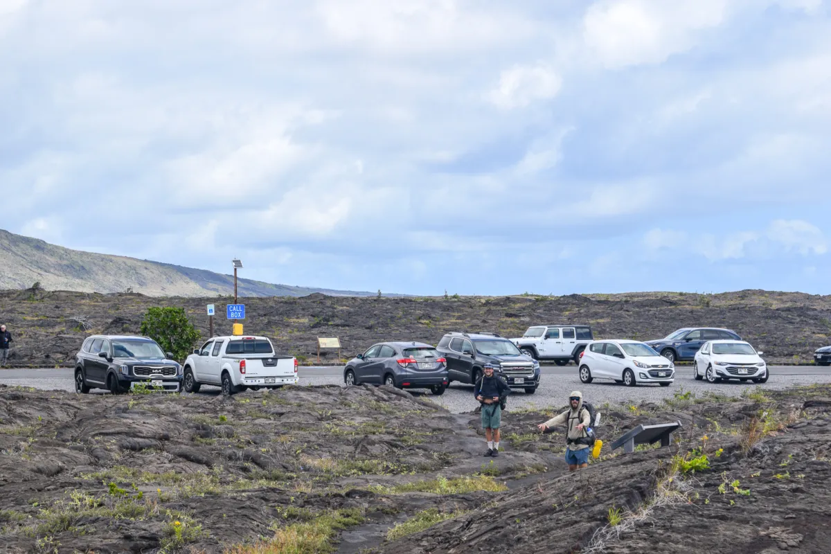
I then took the rental car and drove it to the end point, parking near the Puʻuloa Petroglyphs trailhead at the end of Chain of Craters Road, which is directly across the road from the Puna Coast Trailhead. This is a common strategy for this route, since it allows you to hike through hike one direction without needing to backtrack.
From there, I hitchhiked back to Hilina Pali to rejoin the group. I was initially concerned this could take a while due to the remote location, but it ended up being straightforward. I was first picked up quickly by a local family in a pickup truck leaving the petroglyph area.
They dropped me at the intersection of Hilina Pali Road and Chain of Craters Road, still about 9 miles from the overlook.
After starting to walk, I was picked up again by a nice tourist couple within a short time and completed the ride back to the trailhead. Overall, hitchhiking along this road proved to be a viable option, especially with light traffic and a bit of patience. I will say, if you plan to do this, go in the morning when the most people are in the park and know that you’re going to have to put yourself out there by going up to strangers at the petroglyphs and asking them directly. For the narrow Hilina Pali Road, just stick your thumb way out with a big smile and someone will pick you up eventually.
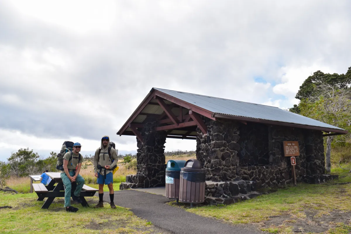
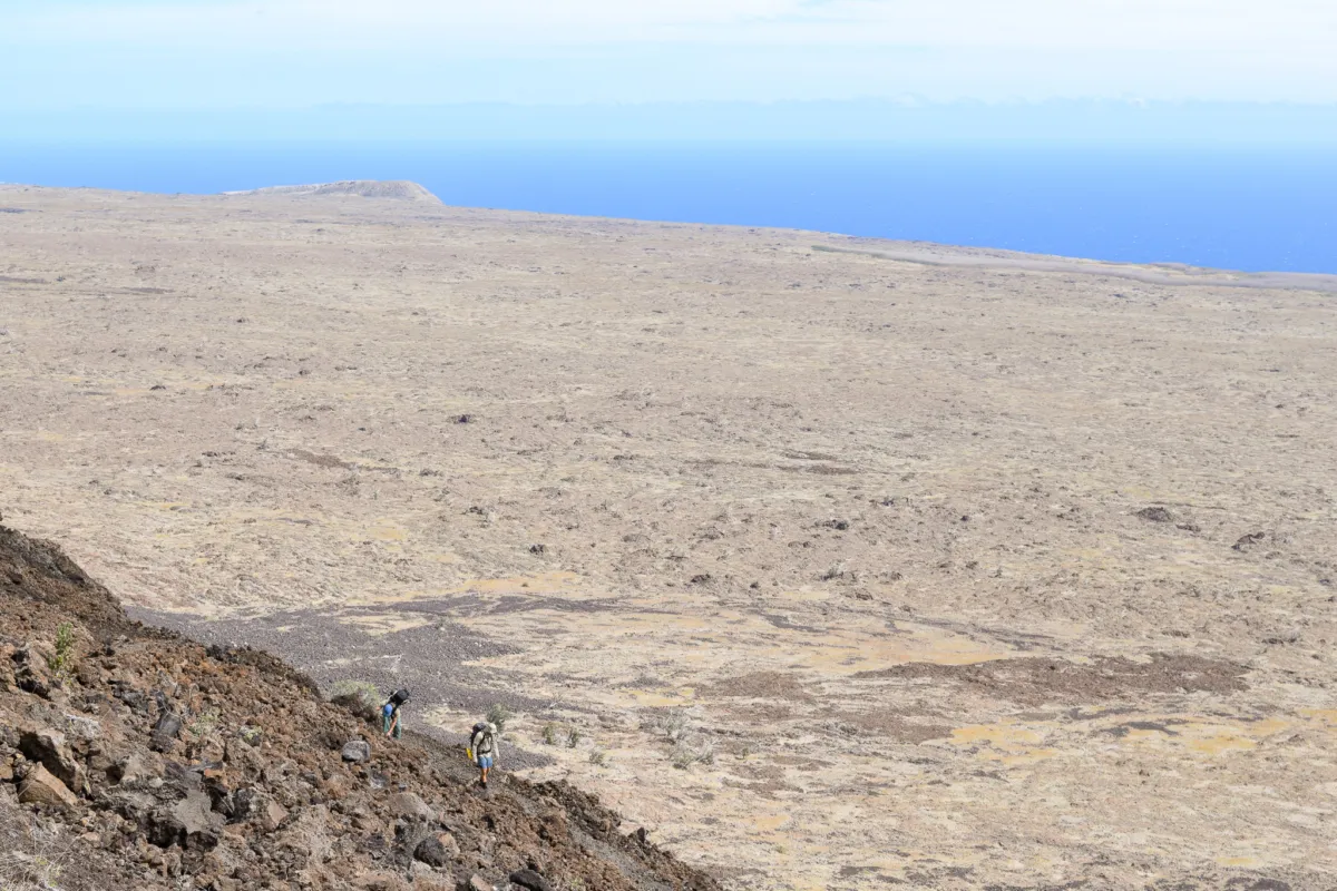
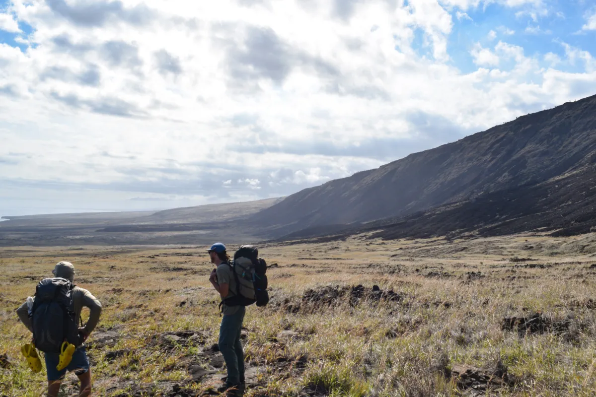
Once I got to the boys, who were amazed how fast I was able to get back to them, we took a final moment while hanging out in the covered are to check our bags one more time and make sure the weight inside was evenly distributed and all straps were synched down for a comfortable 2.2 mile descent down the steep rocky switchbacks. It’s dry, there is no shade, and the terrain is taxing on the knees and ankles.
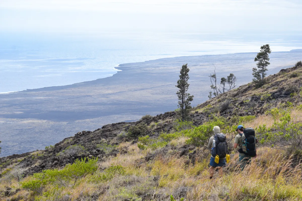
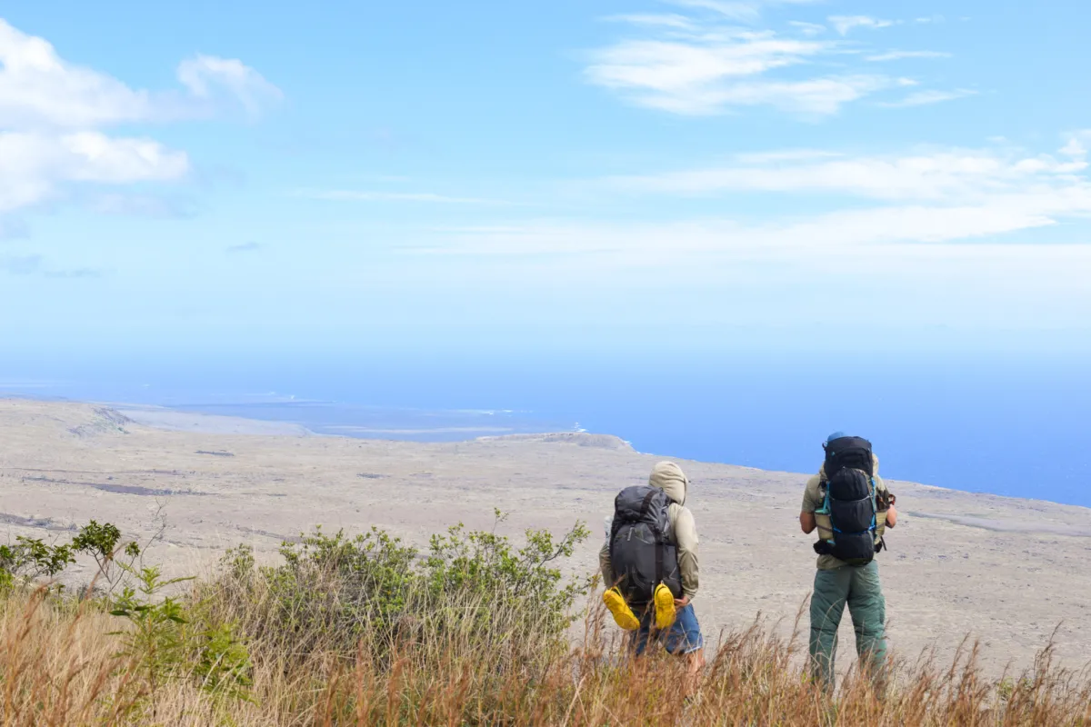
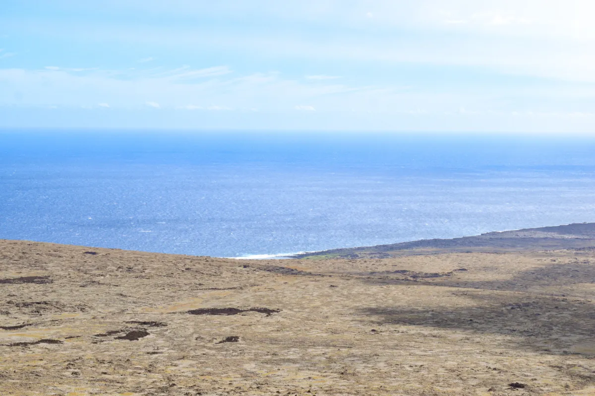
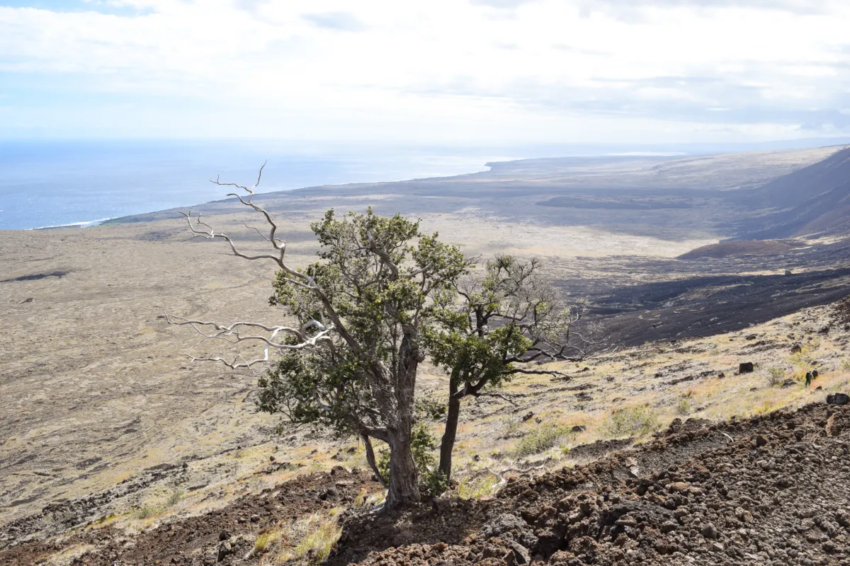
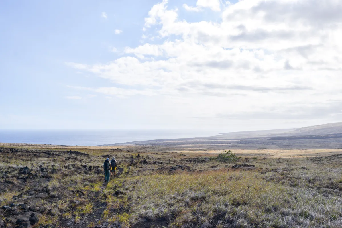
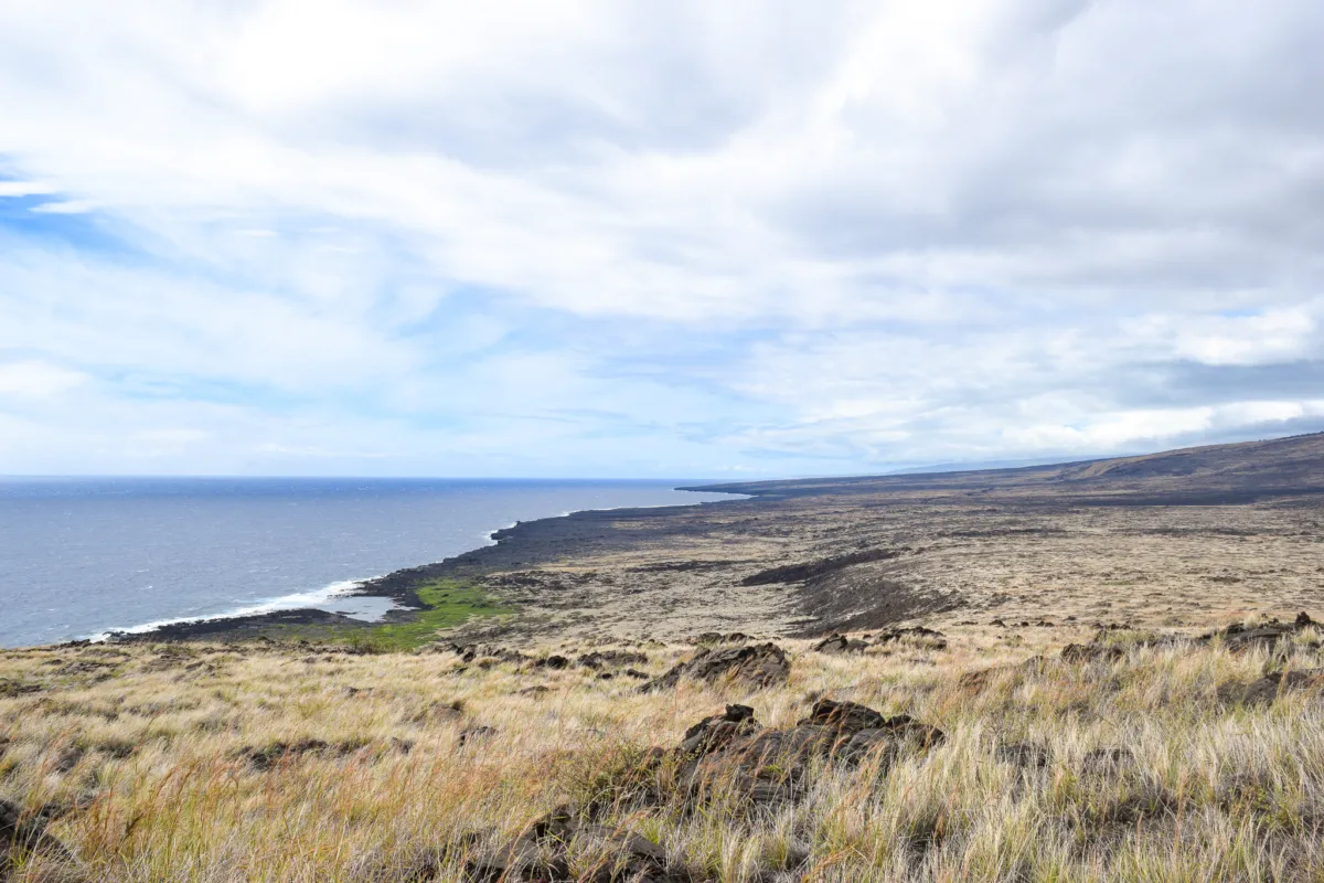
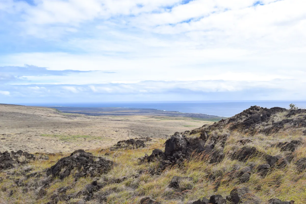
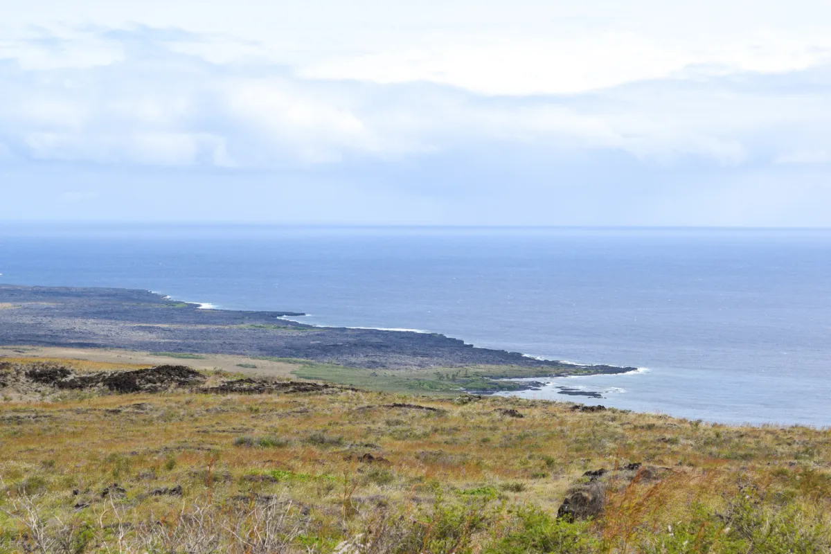
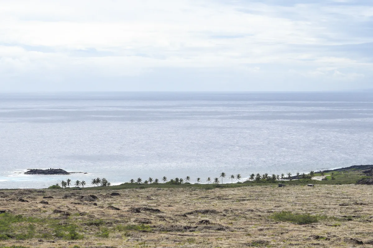
As you descend, the views open up immediately. You get clear sight-lines of the coastline stretching west toward South Point and east toward Puna. The landscape is noticeably dry and golden, with rolling terrain that contrasts sharply with the darker lava fields below. We also caught our first glimpse of tonight's destination, the coastal area of Kaʻaha.
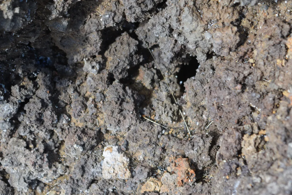
Along the trail, we saw frequent deposits of Pele’s hair, thin strands of volcanic glass formed when lava is stretched by the wind during eruptions. This material has been more noticeable due to ongoing volcanic activity in the park since late 2024.
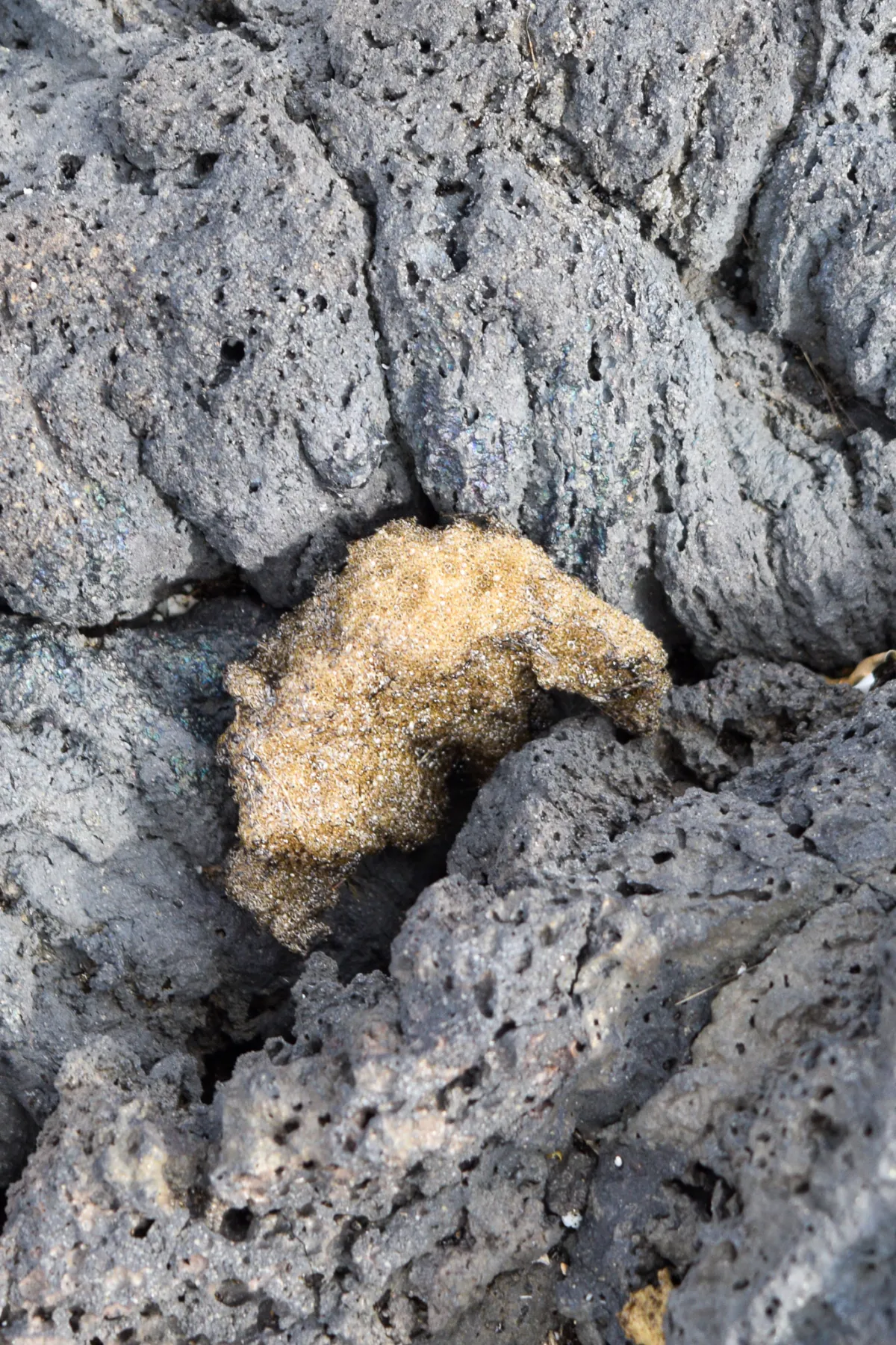
We also encountered tephra along the route. Tephra is a light weight volcanic material ejected during an eruption, including ash, cinders, and larger rock pieces. On this trail, it appears as loose, lightweight volcanic rock scattered across the surface. It crunches under your feet and is as light as Styrofoam.
There is essentially no shade on this descent. The only reliable break point we found was a single tree along the switchbacks, which we used for a short rest before continuing down.
At the base of the Hilina Pali descent, the trail levels out and provides some relief after the steep switchbacks. We regrouped here and took a short break, it’s a good spot to reset after a section that can be tough on ankles and knees.
From this point, we stayed to the right at the trail junction for 1.4 miles along the Kaʻaha trail to reach Kaʻaha campsite. The terrain is more gradual but still uneven in places, with sections of hardened lava and scattered rock.
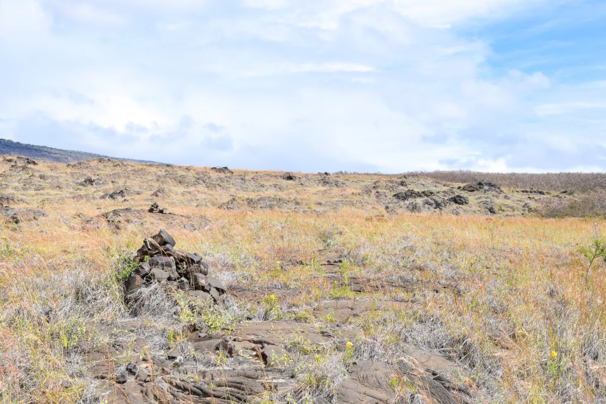
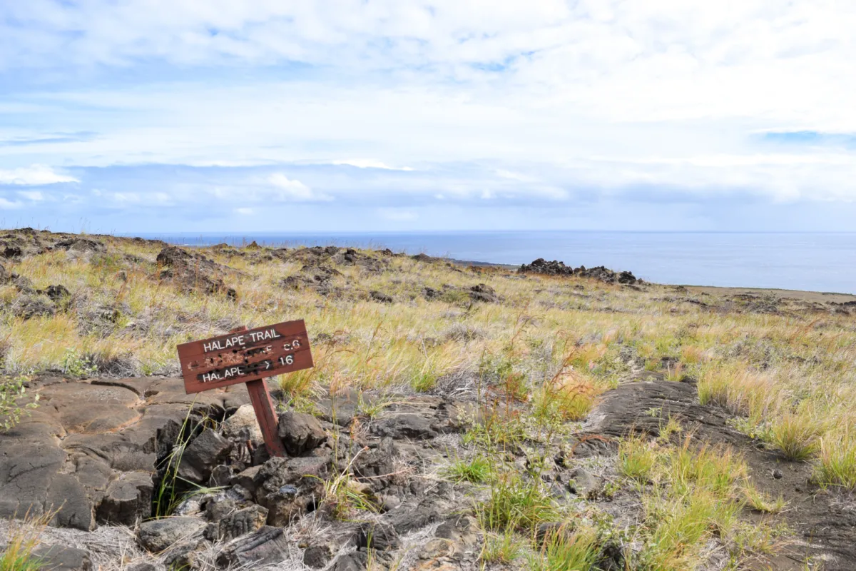
Navigation also becomes less defined here. The maintained trail transitions into a route marked primarily by ahu, a.k.a. rock cairns (stacked stones), which you’ll need to follow across the lava fields to stay on track.
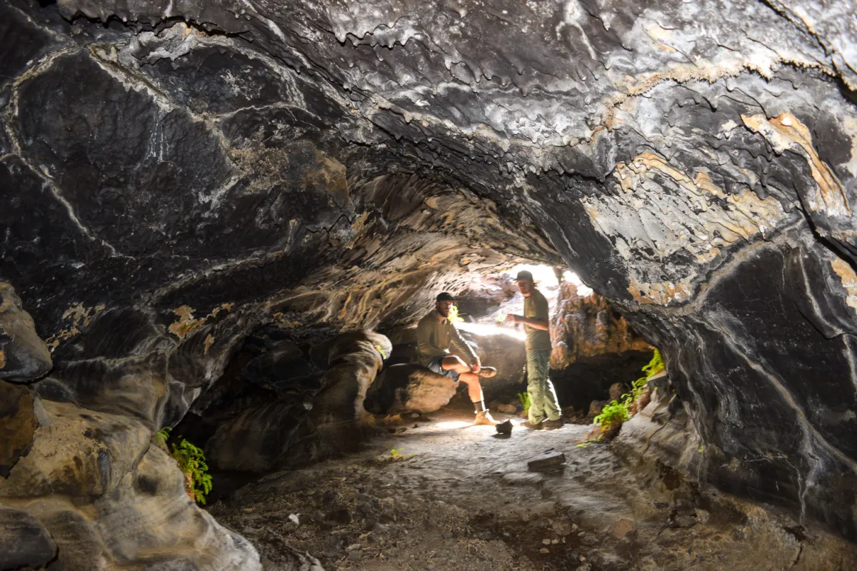
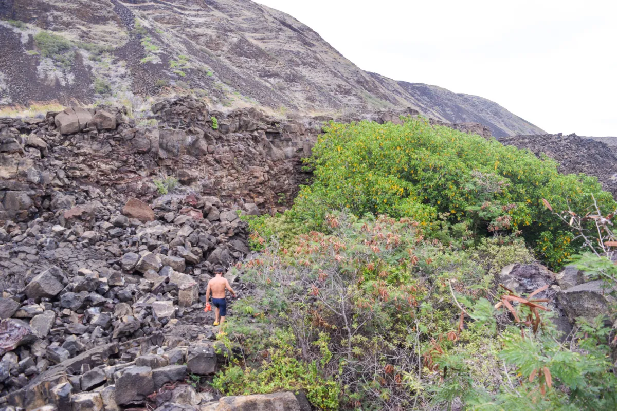
Along the way, we came across several small lava tubes and cave formations. These provided brief opportunities to escape the relentless sun and cool down, since shade is otherwise extremely limited on this section of trail. Some of the tunnels reminded me of the famous Thurston Lava Tube near Kīlauea Iki, which visitors can explore on the Kona Evening Volcano Guided Tours. While these smaller coastal formations lacked the size and lighting of Thurston, they carried the same eerie reminder that all of this rugged landscape was once flowing rivers of molten lava.
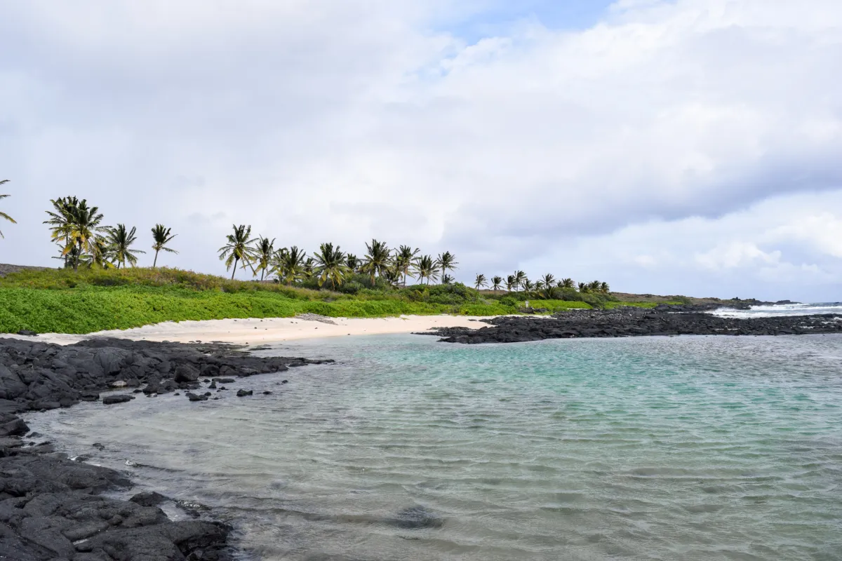
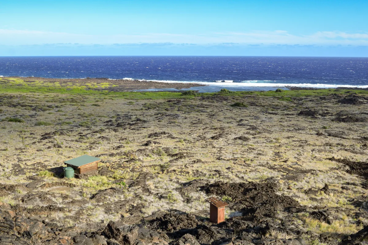
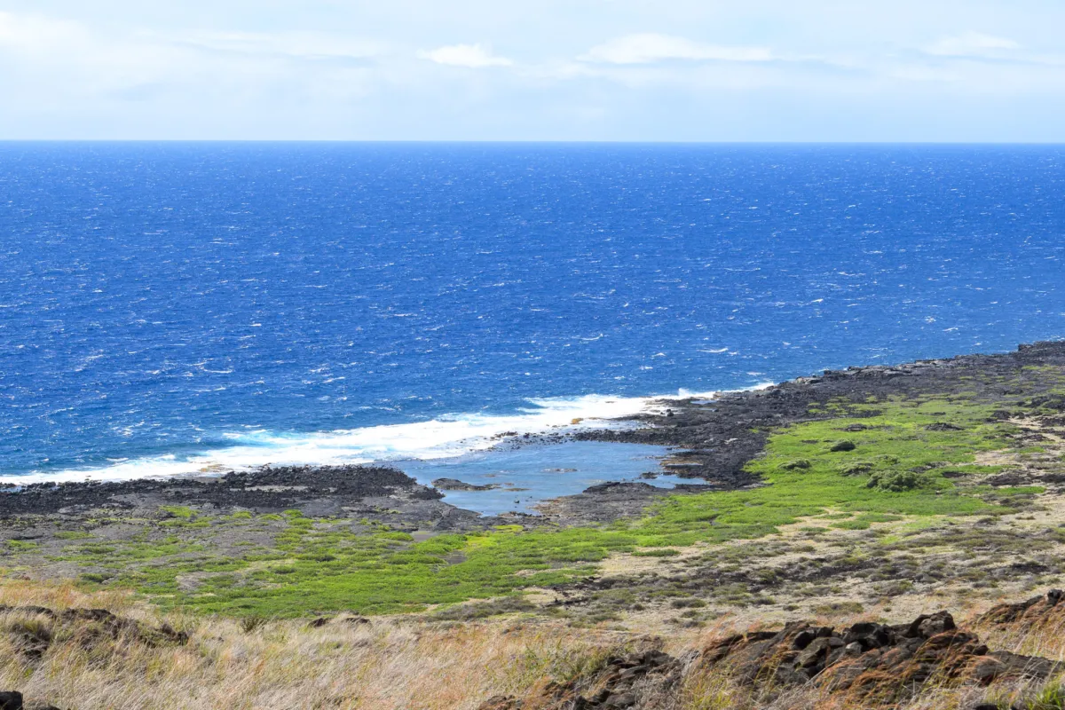
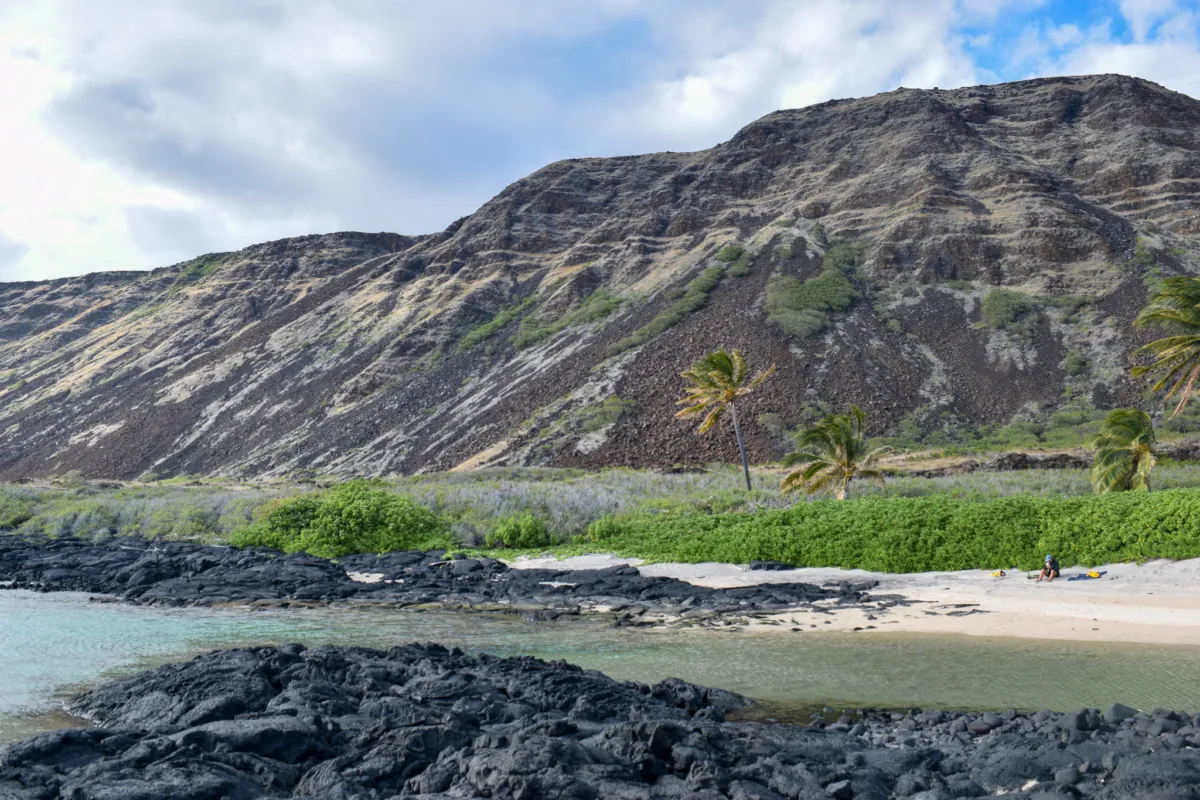
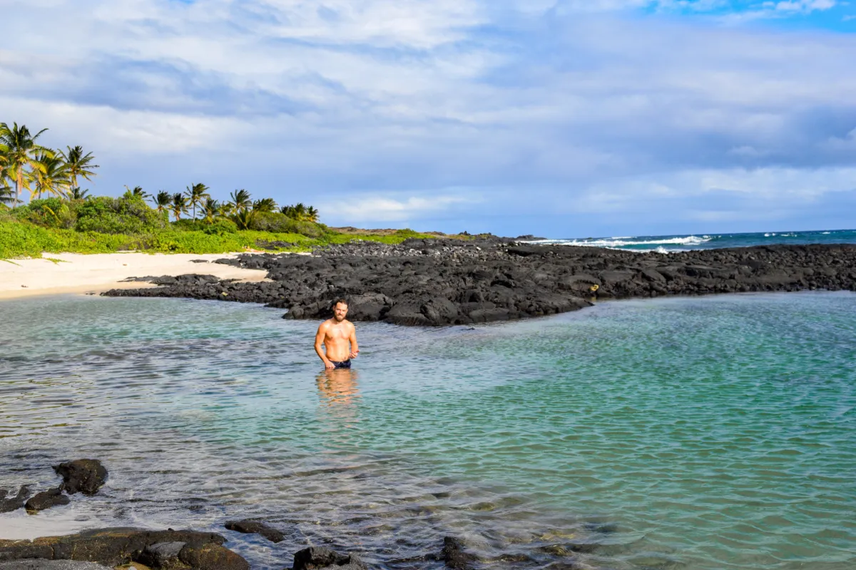
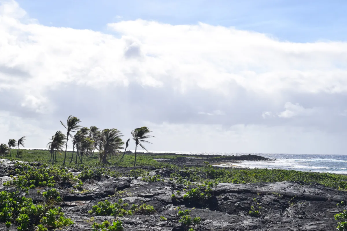
As you continue along the coastal trail, Kaʻaha becomes visible before you reach it. The campsite is centered around a large, shallow tide pool set along the coastline, bordered by a dense grove of naupaka. Compared to the dry, exposed lava fields leading in, this area stands out immediately. The greenery and water create a noticeable contrast, making it easy to identify your destination from a distance.
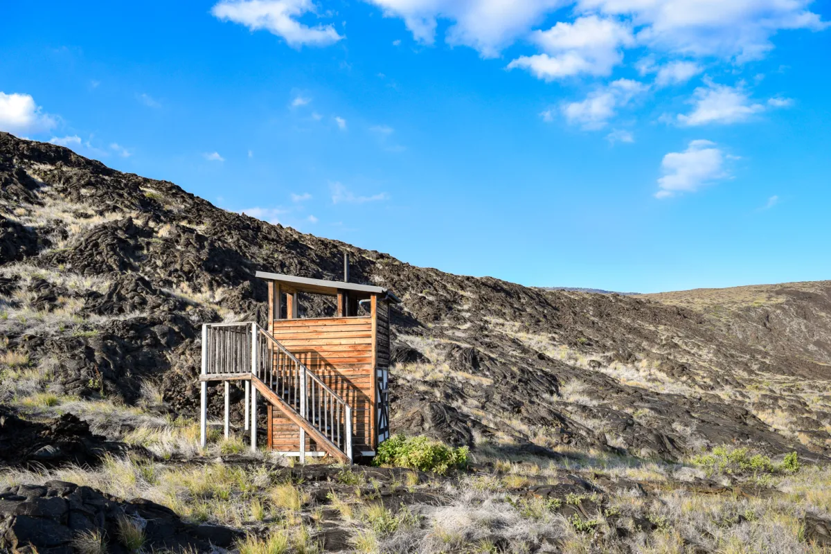
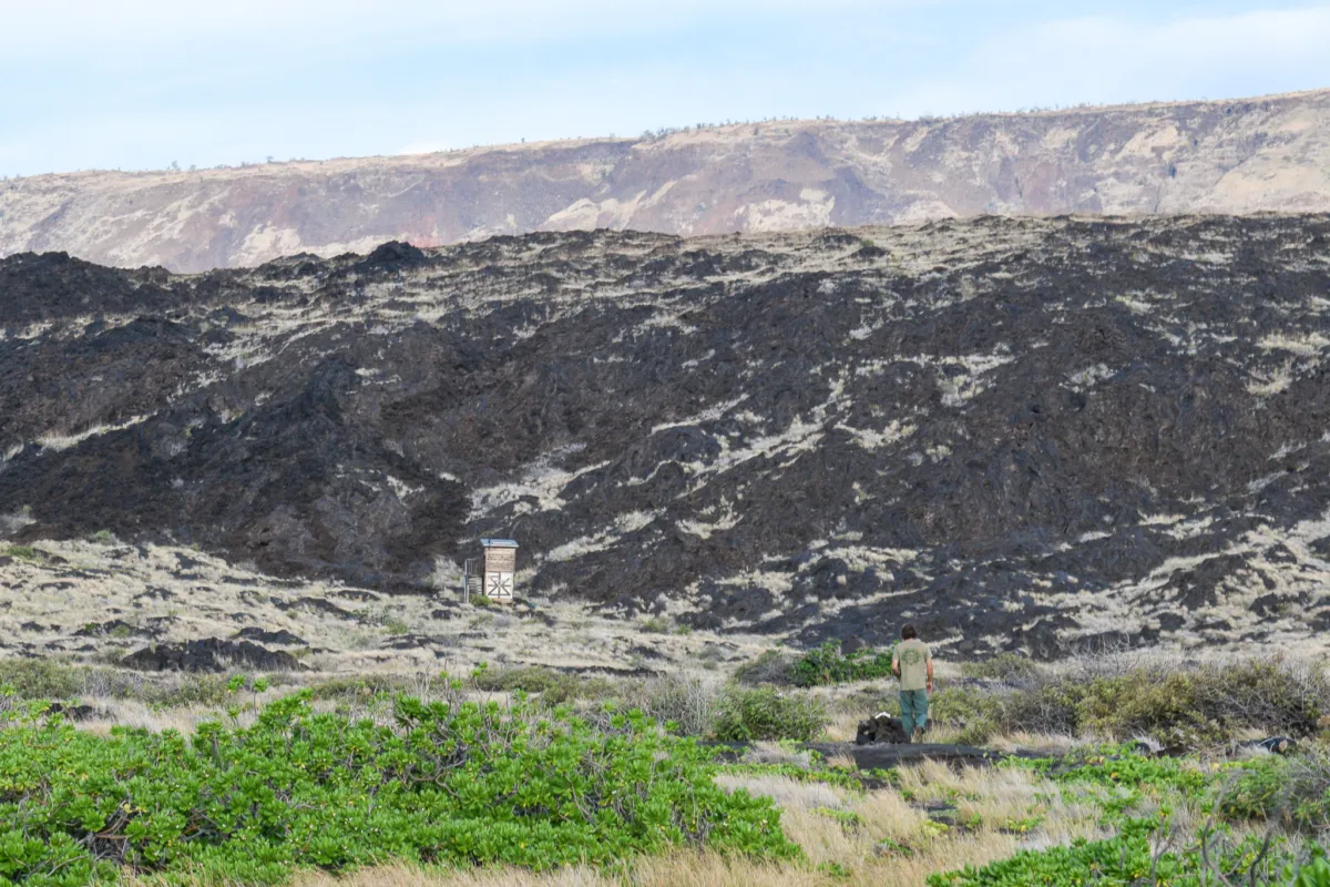
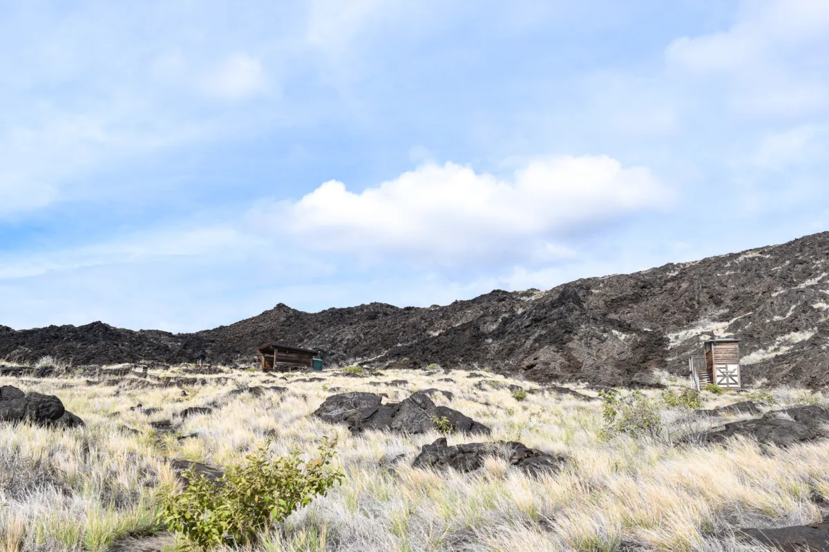
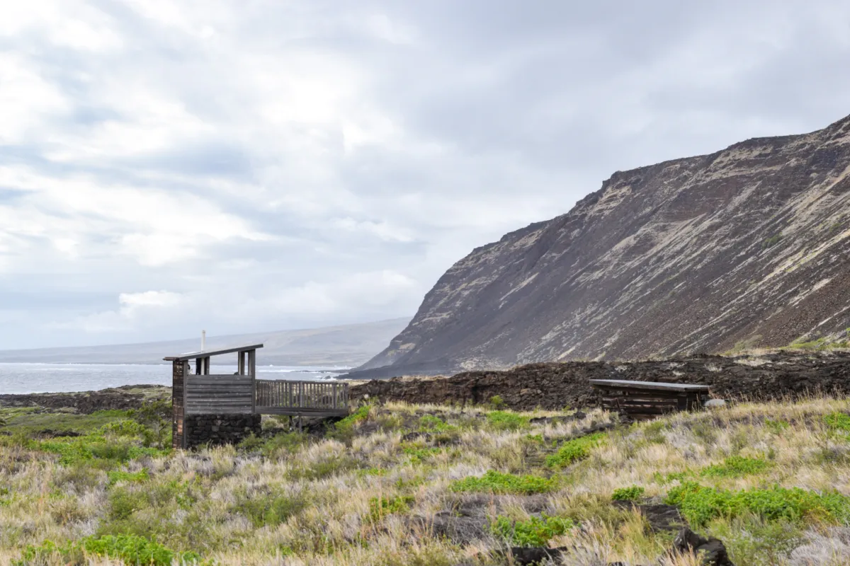
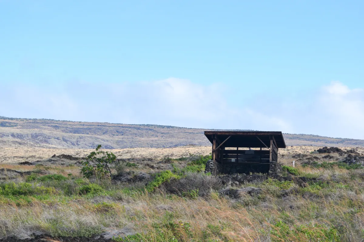
The final approach includes a short descent down to the campsite, after which you arrive directly at Kaʻaha. Kaʻaha is a minimal backcountry campsite with only a few basic amenities. There is a covered shade structure with a roof-fed water catchment system and a single outhouse.
At the time of our visit, the water tank was full, but all water should still be treated before use. The outhouse was functional but did not have toilet paper, so plan to bring your own. Aside from these features, there are no additional facilities. This is a true backcountry site, so come fully prepared with everything you need for your stay.
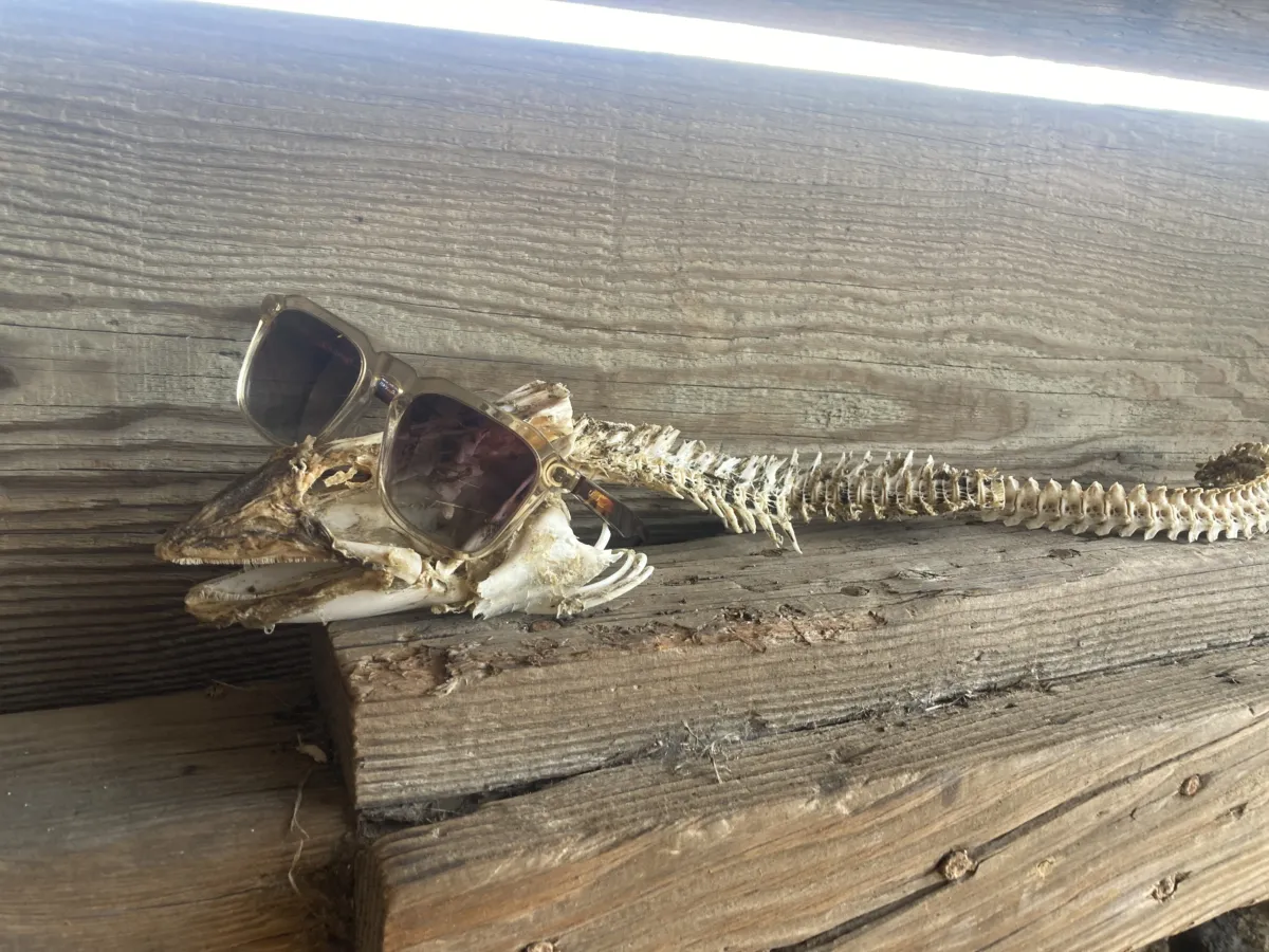
Inside the shelter, there is a logbook stored in a repurposed military-style ammo box. It’s worth taking a few minutes to read through, entries from other hikers give a good sense of conditions, wildlife sightings, and recent campsite experiences. There were also a notable find, the skeleton of a large moray eel.
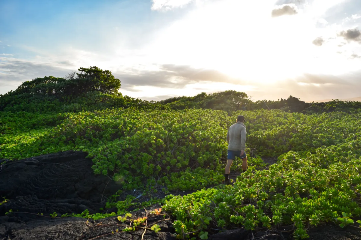
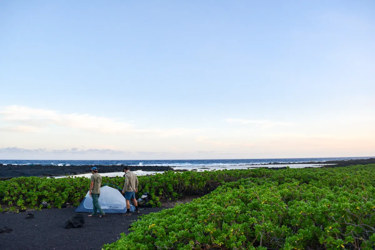
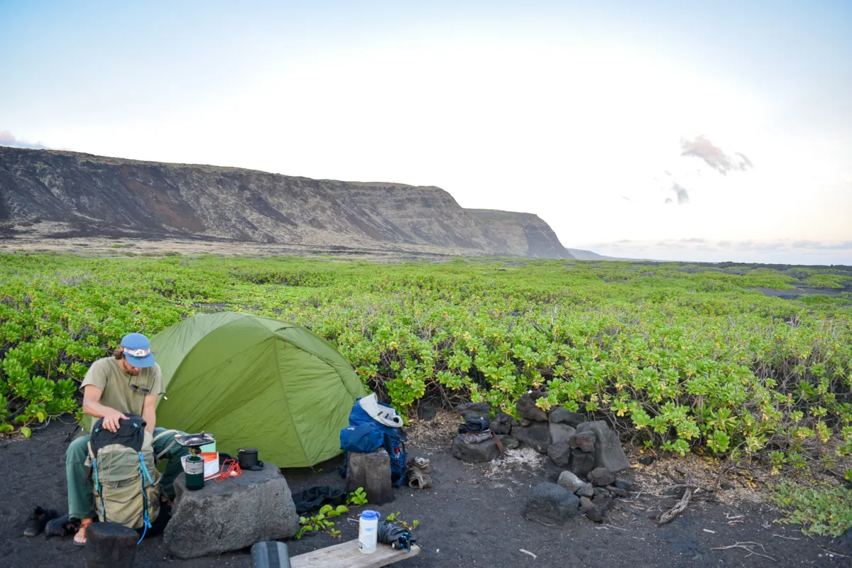
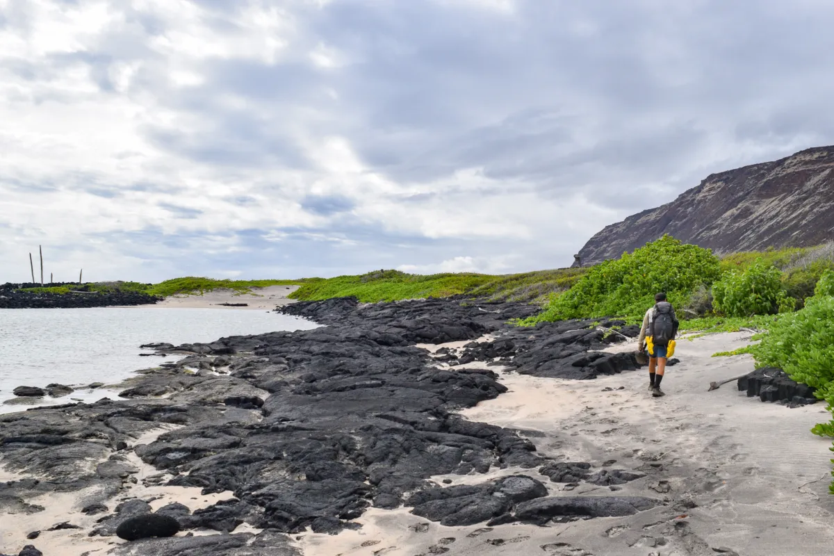
Once the sun dropped lower, we walked down toward the beach and began scouting for campsites because while the shade structure is useful during the day, it’s not an ideal place to sleep. Instead, most campers set up closer to the shoreline, using the surrounding naupaka for natural wind protection. The naupaka grows in dense clusters and creates a range of camping options. Some spots are more enclosed, almost cave-like within the vegetation, offering stronger wind blockage. Others are more open with better airflow and views of the ocean.
We explored a few different options before choosing a more open, central site. With no other campers present, we had full flexibility to pick the most comfortable setup.
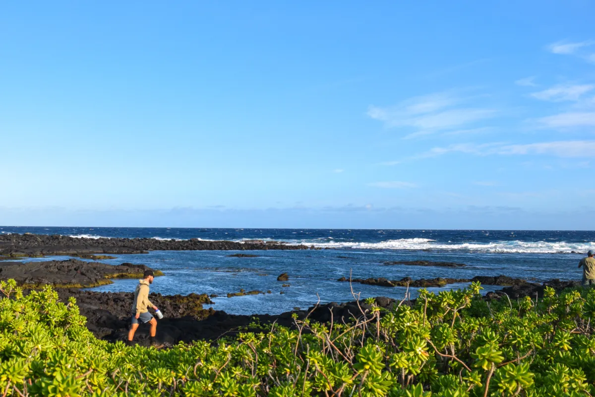
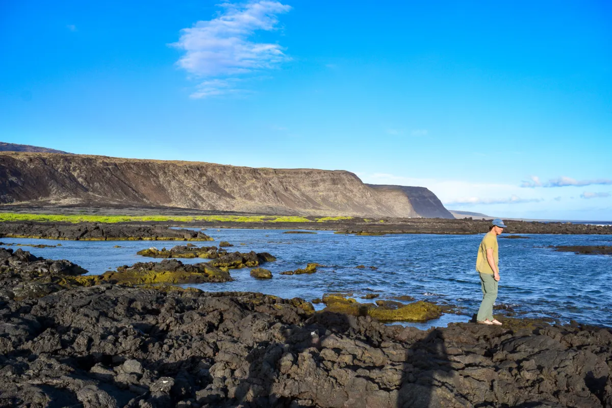
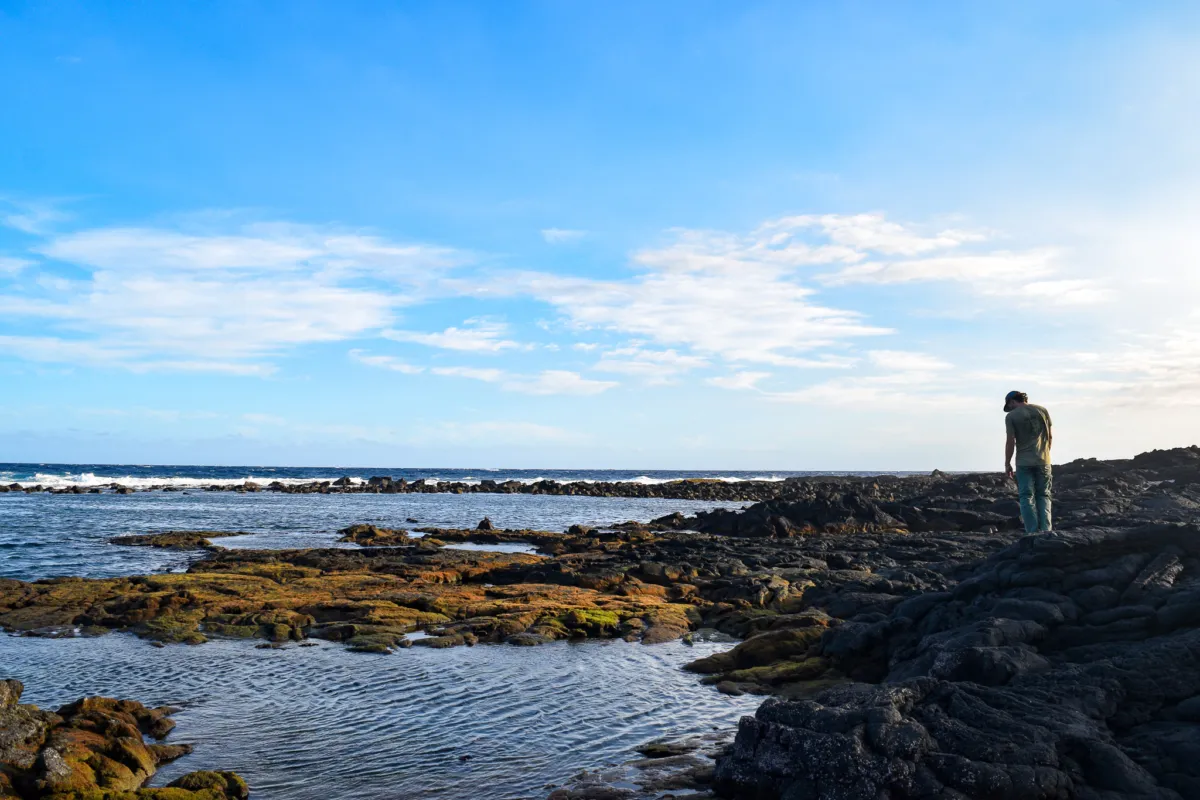
Once camp was set, we spent time exploring the tide pools at Kaʻaha, which are one of the main highlights of this site.
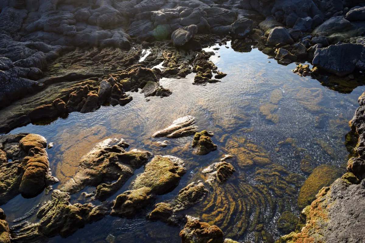
The pools are very active, with marine life visible throughout. We immediately saw a moray eel lunging partially out of the water onto exposed rock while hunting for crabs. It was an amazing natural show that I had never seen before. Fish were present in nearly every pocket of water, and seabirds were consistently flying overhead along the coastline.
The pools are generally too shallow for snorkeling, but they are ideal for slow exploration on foot. Take your time walking the edges and looking into the pockets, there is a lot to see without needing to get in the water. After exploring the area, we returned to camp and settled in for the night.
Day 2 started with a slower morning at Kaʻaha. I missed sunrise, but Ryan had already been out exploring the tide pools and was making breakfast by the time I got up. After a quick meal and trip to the outhouse we packed up and began heading toward our next destination, Halapē.
Leaving Kaʻaha requires a short climb of a few hundred feet up from the beach, bringing you back onto the dry mid coastal plain.
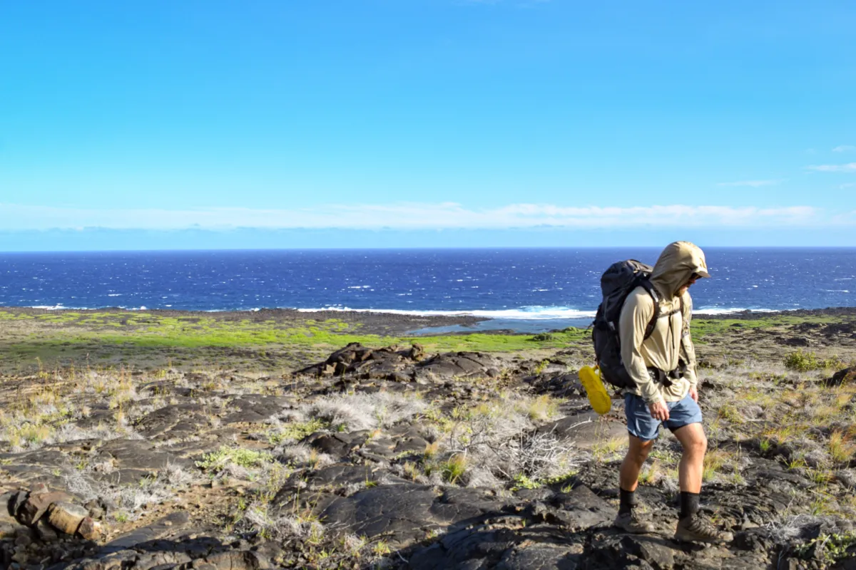
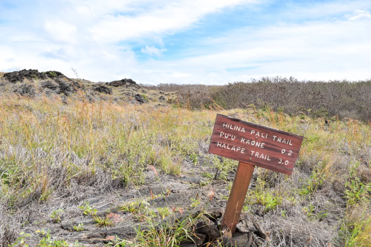
From there, you stay east in the Pu’u Kaone trail and continue east toward Halapē. The terrain returns to exposed lava and rock, with minimal shade as you make your way across the coastline.
We had about 6 miles in front of us but thankfully not as much elevation change throughout the day. Despite that, it ended up being the most physically demanding day of the trip. The first stretch includes a steady uphill climb for the first 0.5 miles. Conditions are again hot, dry, and fully exposed. Expect direct sun for most of the hike, with only low brush and grass offering minimal relief. The combination of heat, distance, and uneven footing across lava makes this section feel more strenuous than the elevation profile might suggest. The best views on this stretch are early on, looking upslope toward the upper reaches of Hilina Pali and back down the coastline toward Kaʻaha.
As you gain distance and the terrain levels out, those coastal views begin to fade and the landscape becomes more uniform. From there, the trail is less visually distinct and navigation requires more attention. You’ll continue following more ahu across the lava fields, which mark the route but can be easy to miss. It’s common to lose sight of the next cairn if you spend too much time focused on footing. I had to stop several times to scan ahead and relocate the route. Slowing down and regularly looking up to find the next marker helps avoid drifting off course.
After that, the elevation gain becomes more gradual, but it continues subtly throughout the route just before reaching the top of Pu’u Kaone, where it junctions with the Hilina Pali Trail.
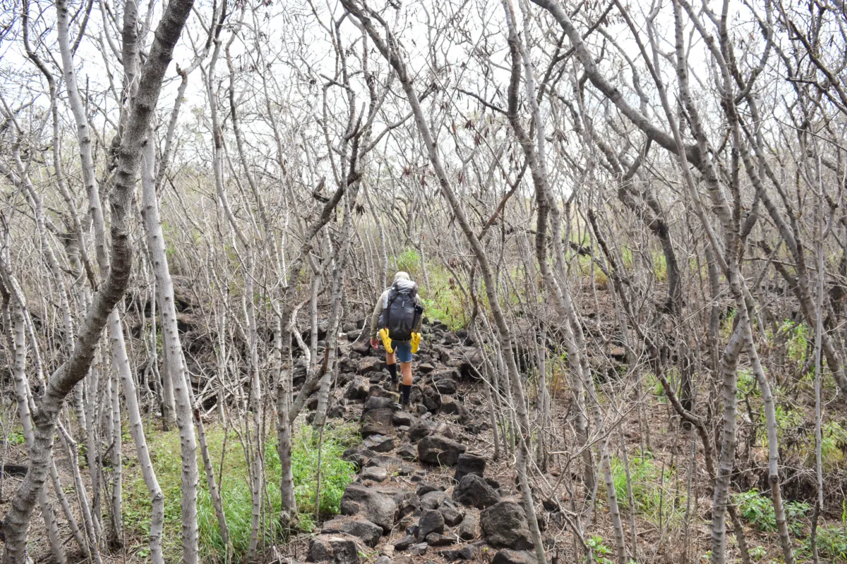
Finally after 1.6 miles we reached the top of Pu'u Kaone and we entered a grove of thin trees. I have been trying to identify what kind of tree they are from my photos but haven't been able to. My closest guess is the invasive Haole Koa, but if you know it's another species please email me at [email protected]
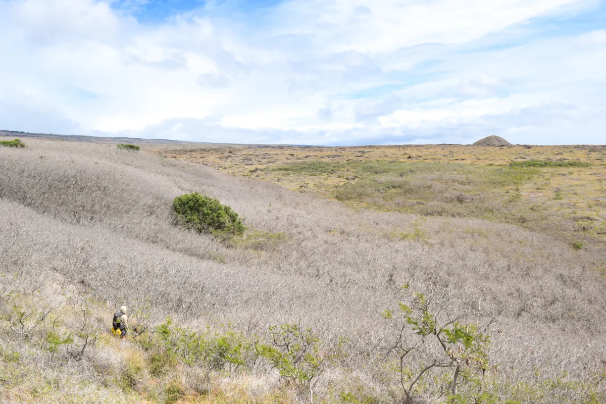
After passing through this short shaded section of trail, about 0.2 miles, Puʻukapukapu comes into view.
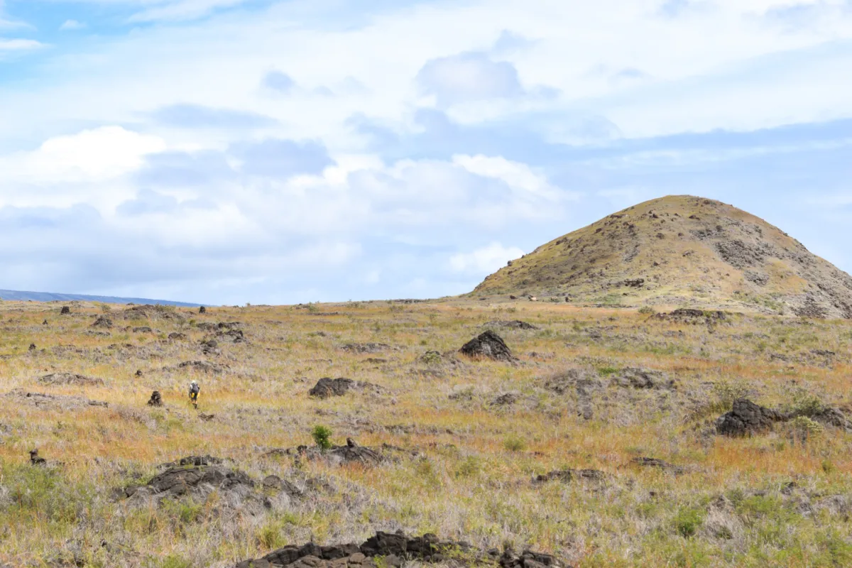
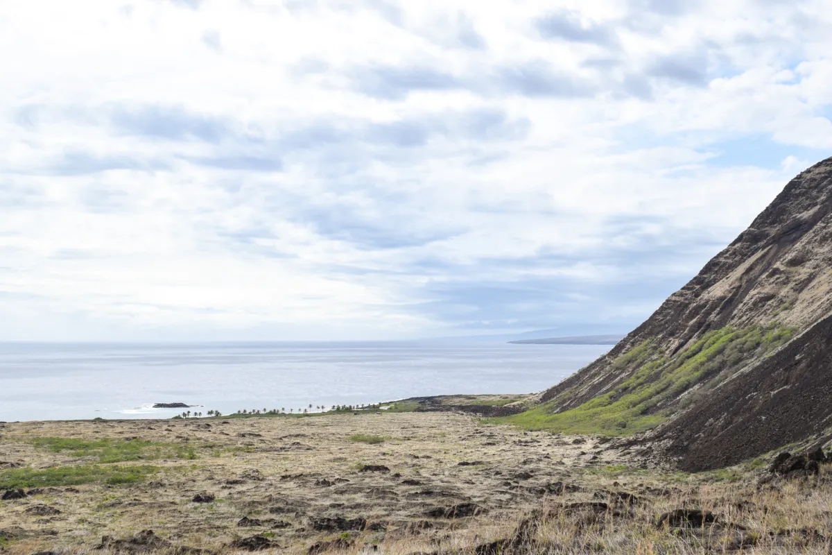
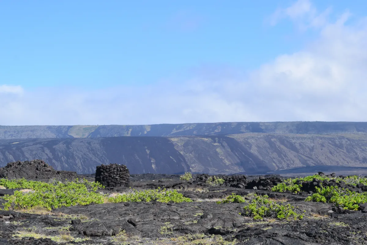
Puʻukapukapu is a prominent geological feature along the coast, sitting above a steep sea cliff that rises roughly 1,000 feet above the ocean. What makes it stand out is the elevated hill at its top, which is unusual compared to the surrounding cliffs. This formation is the result of movement along the Hilina fault system, where sections of land shift and drop toward the ocean. In this case, Puʻukapukapu is a “horst,” a block of land that has dropped less than the surrounding areas, leaving it higher than the terrain around it.
Beyond its geology, the name Puʻukapukapu is often interpreted as meaning a sacred or elevated hill, which fits its commanding presence along this stretch of coastline. As we continued hiking, the feature became more defined and noticeably larger, serving as a reliable visual marker that we were on track toward Halapē.
After passing Puʻukapukapu, the views begin to open up in a big way. You can see long stretches of the coastline that make up the Puna Coast Trail, including Keauhou and ʻĀpua Point, with Chain of Craters Road visible in the distance. This is a good natural stopping point. I took a break here to rest and have lunch, an apple and a Clif Bar, while taking in the view.
From here, the final stretch to Halapē comes into view. What remains is about a 1.1 mile descent off the coastal plain down toward the campsite. After a long, exposed hike, the greenery at Halapē stands out immediately, making it easy to spot your destination.
Halapē is not only a beautiful and well-known backcountry campsite, but it is also the site of a major historical tsunami, which helps explain the strong emphasis from rangers on evacuation routes. In 1975, a magnitude 7.2 earthquake along the Hilina fault system triggered a large tsunami that struck this coastline killing 2 campers and injuring several more. Waves reached heights of up to 40 feet in some areas and inundated the Halapē campsite, destroying structures and significantly reshaping parts of the shoreline. The event was sudden and powerful, with little warning for those in the area. Today, Halapē remains a popular destination, but this history is a reminder that the coastline here is vulnerable. Campers should be aware of evacuation routes and be prepared to move to higher ground quickly if conditions warrant.
Upon arriving at Halapē, I first checked the water catchment at the shade shelter. The tank was full at the time of our visit, but as with all backcountry sources in Hawaiʻi Volcanoes National Park, water should still be treated before use.
I then met up with Ryan and Joe, who were already on the beach resting. They hadn’t selected a campsite yet, so we took some time to explore options. Halapē has multiple established camping areas spread out along the coastline and slightly inland. Several of the more desirable oceanfront spots were already occupied, and additional hikers were arriving from the Puna Coast Trail. Notably, we were the only group that had come in via the Hilina Pali route that day.
After looking at a few locations, we chose a site on the far eastern side near the ranger area. It required a slightly longer walk to the beach, but it offered enough space for two tents and a quieter setup away from other groups. After setting up camp, the main draw at Halapē is the protected sandy bay, which is one of the few places along this coastline where you can comfortably swim. We went for a swim to cool off after the hike. The sandy bottom makes for easy entry and exit, and the bay offers some protection from the open ocean. We brought masks, but visibility was average and the snorkeling itself was not a highlight. This is best approached as a place to relax and cool down rather than a dedicated snorkeling spot.
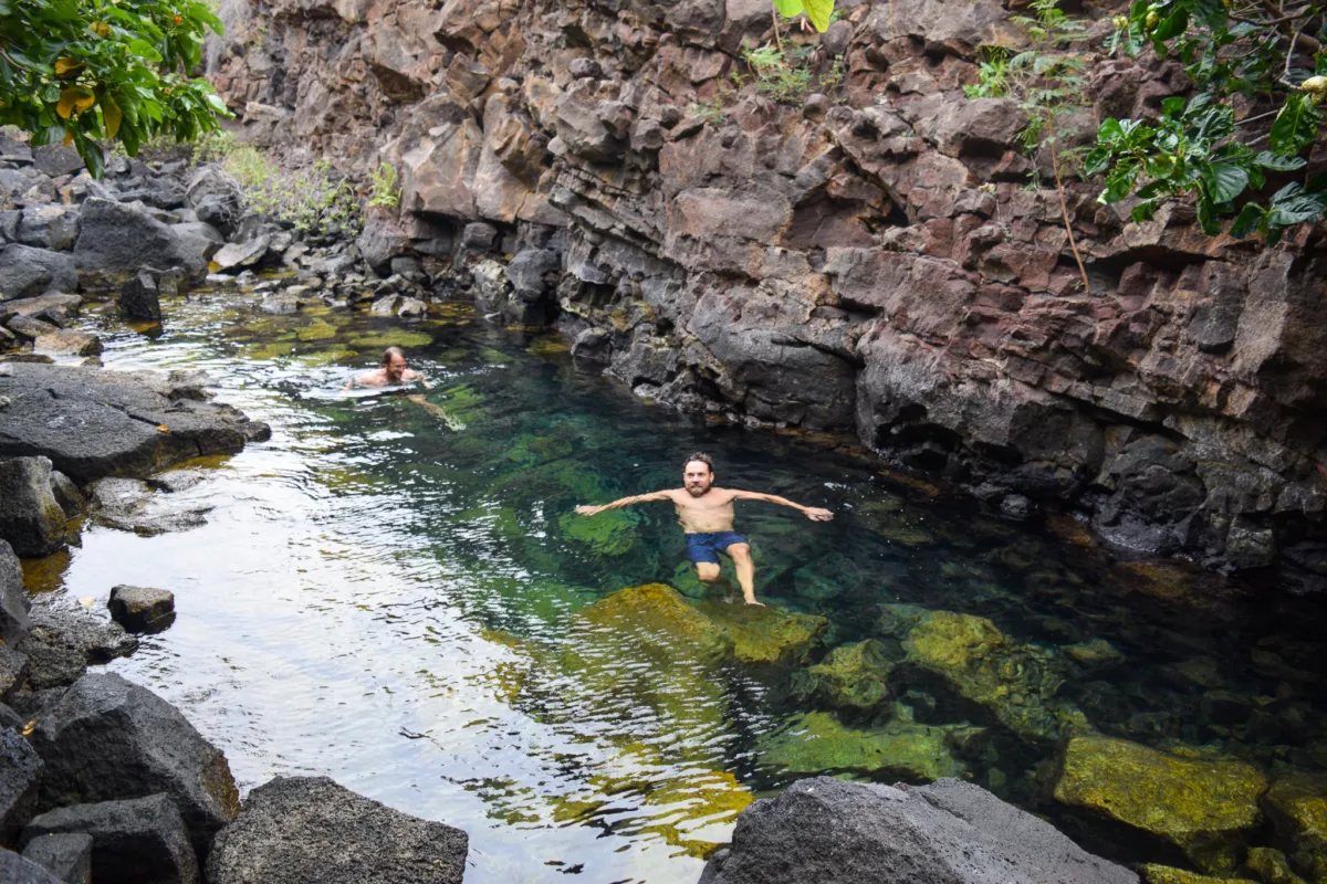
After spending time in the water and on the beach, we explored a short trail just inland in search of the freshwater or brackish pools we had heard about that would be nice to rinse all the salt and grime off of us. Within about five minutes, we found them. The water appeared brackish, a mix of fresh and saltwater, but significantly less salty than the ocean, almost unnoticable. While not a primary water source, it could be useful in an emergency. For us, it was one of the best features of Halapē, being able to rinse off salt and sand after a long day made a big difference in overall comfort. Dare I say, turning the trip from a roughing it to luxury? After the rinse, we returned to camp afterward, had dinner, relaxed for the evening, and turned in for the night.
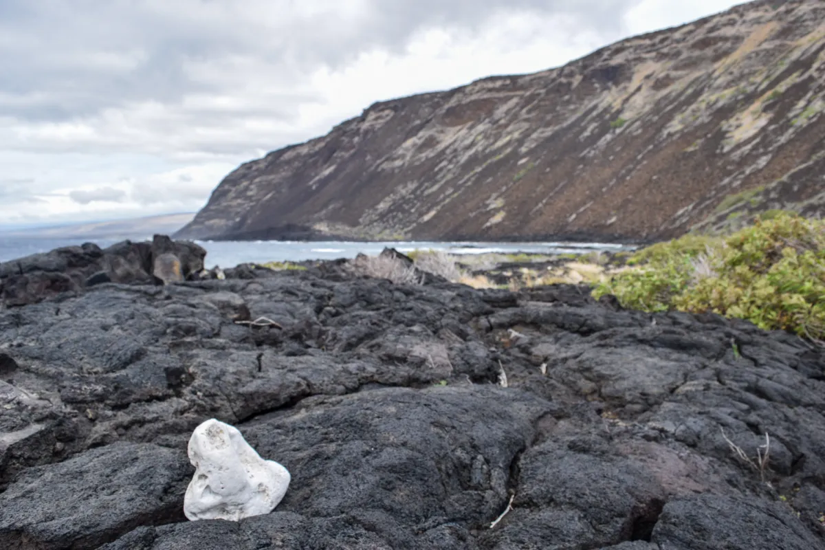
The next day, after breakfast, our plan was simple, spend the day exploring Halapē Iki. Halapē Iki is a smaller, more secluded bay located about 0.5 miles from the main Halapē campsite. To reach it, head south from camp and cross a rugged lava rock field. The route is not formally maintained, but it is marked by strategically placed white stones that act as trail markers. Footing through this section is uneven and requires attention, but navigation is straightforward as long as you continue following the markers.
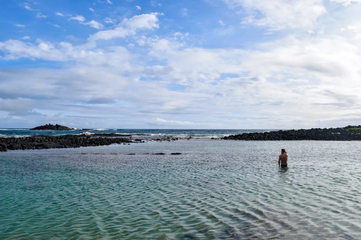
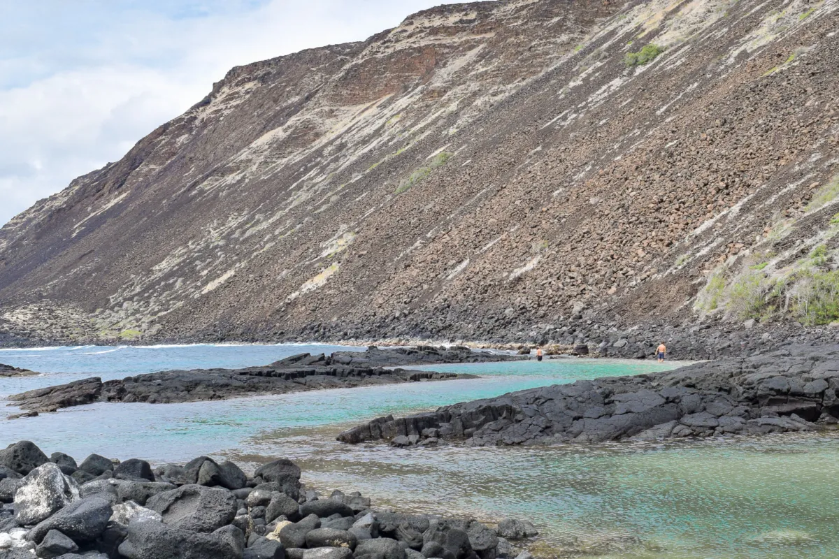
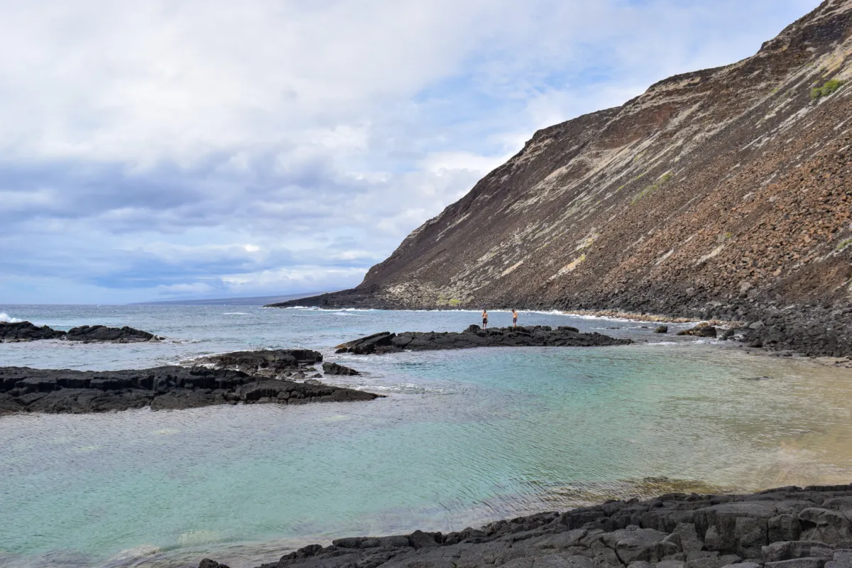
After a short hike up and over the rocky terrain, you arrive at Halapē Iki. Halapē Iki is a standout location, a small white sand beach protected by a natural lava rock barrier that creates a calm, shallow inner bay. It’s easily one of the most scenic backcountry coastal spots in Hawaiʻi.
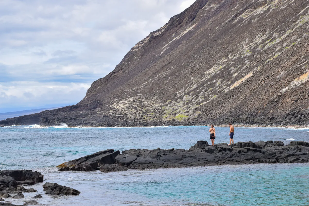
We walked out along the lava rock barrier and entered the water on the ocean-facing side to snorkel the deeper outer bay. This area offers significantly better marine life, including coral, tropical fish, and sea turtles. However, this is not a casual swim. Conditions on the outside of the barrier can be hazardous, with strong currents and surge. This route should only be attempted by highly experienced ocean swimmers who are confident in reading conditions and managing current. I recommend using extreme caution if you attempt this.
While we were comfortable in these conditions, another camper who attempted to follow us immediately turned back and climbed up the rocks after realizing it was beyond their ability. For most visitors, the protected inner bay is the better option. It offers calm water, a sandy bottom, and a much safer place to swim while still being just as visually impressive. We spent about 45 minutes snorkeling before climbing back over the rocks, returning to the beach, and relaxing in the sand.
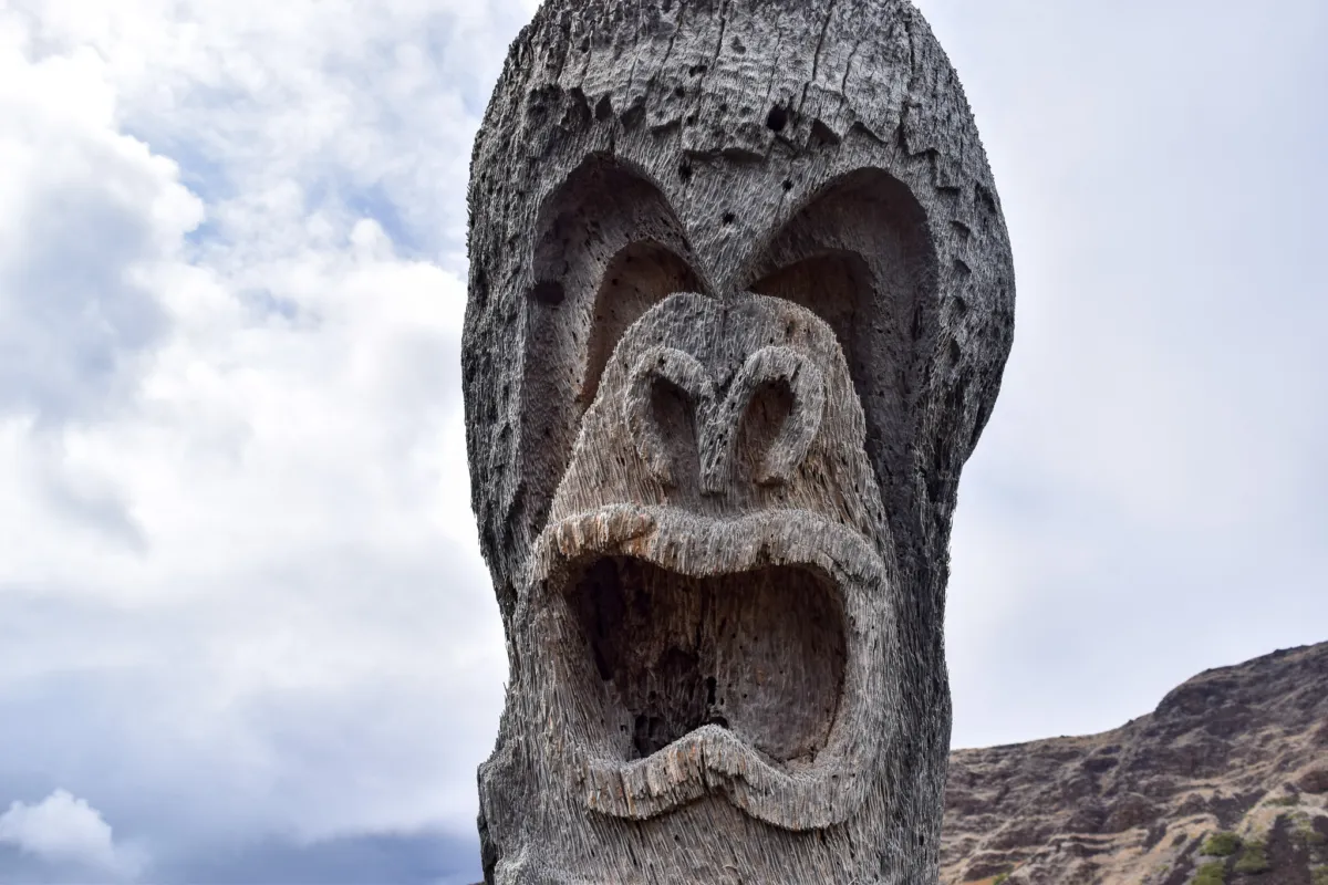
On the way back to camp, I stopped to admire the detailed carving of Lono set into the trunk of a palm tree. In Hawaiian culture, Lono is associated with agriculture, rainfall, and peace, and is an important figure in traditional belief systems. The carving itself was impressively done, with multiple layers and a clear amount of time and effort put into the work. It stood out as a meaningful addition to the area, and I appreciated the craftsmanship and intention behind it.
Suddenly conditions began to change as light rain moved in. Another camper pointed out that the rain contained volcanic ash, which was unexpected at the time. Each drop landing on our skin had speckles of black and grey dots in it. The camper told me that they had cell service and found out that the eruption had started while we were out at Halapē Iki. Even at roughly 10 miles from the crater, and slightly crosswind, ash was being carried all the way to the coastline. The ash was noticeable on skin, in hair, and even settling onto gear and food while we were preparing dinner. It’s important to note that volcanic ash is not like wood ash, it can contain fine particles of volcanic glass. Because of this, it should be avoided when possible, especially ingestion when getting in your food and contact with eyes.
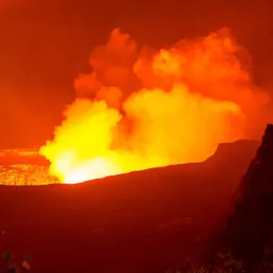
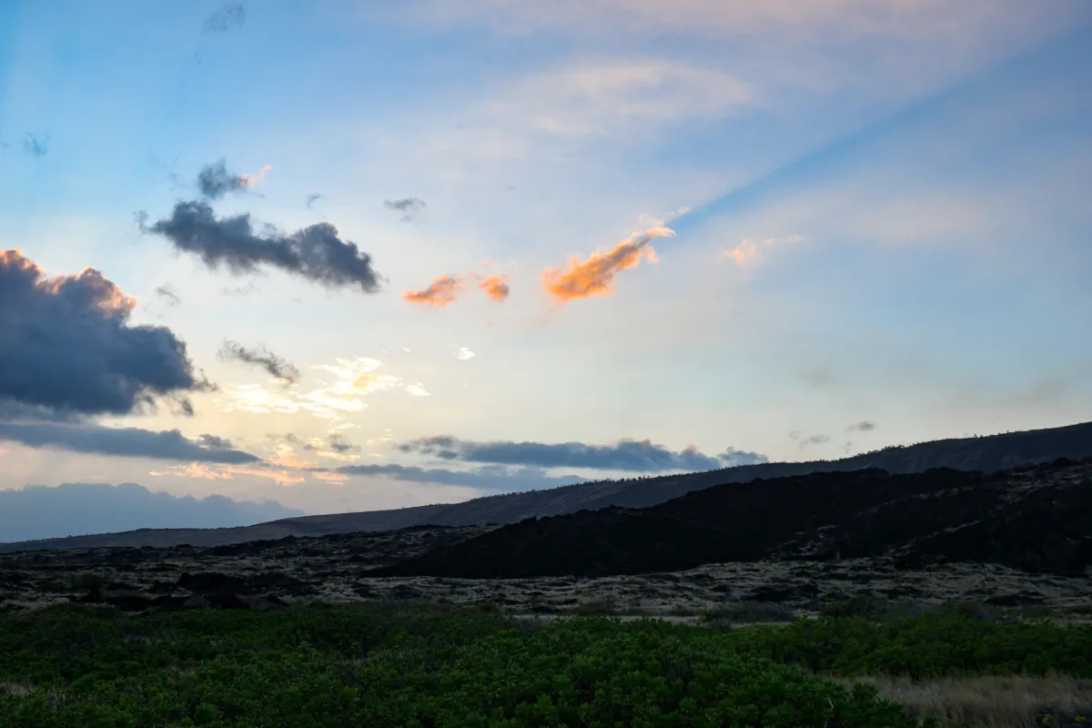
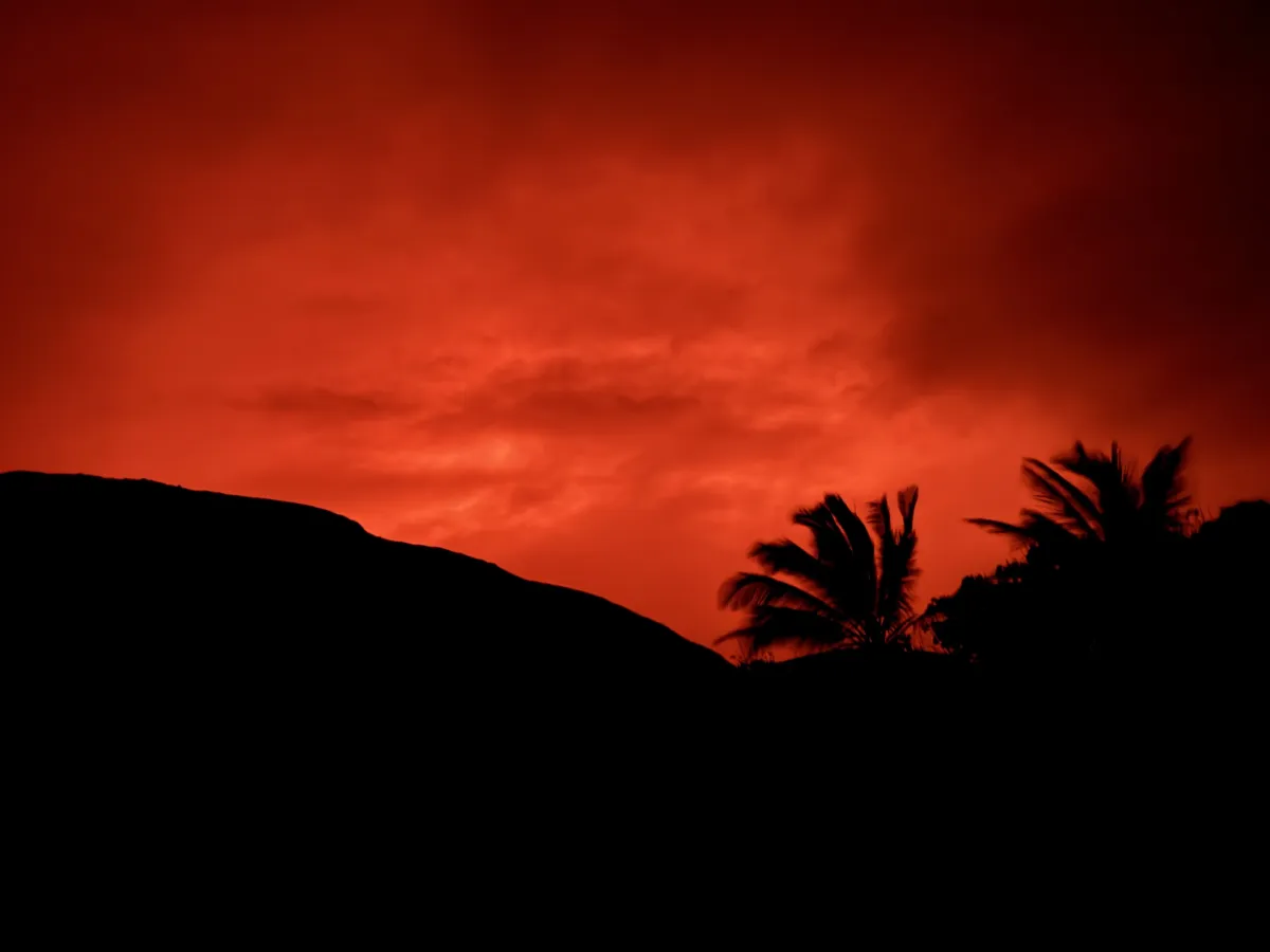
As night fell, we watched the sky to see if the eruption would be visible from camp. Around 9 PM, once it was fully dark, a faint orange glow became visible over the pali. Even from the remote coastline, the eruption painted the clouds with an eerie volcanic light that reminded us just how alive this island truly is. As beautiful as the view was from down at sea level, I couldn’t help but feel a little jealous of anyone who had booked the Luxury Volcano National Park Tour and was watching the eruption directly from the edge of Kīlauea Crater itself.
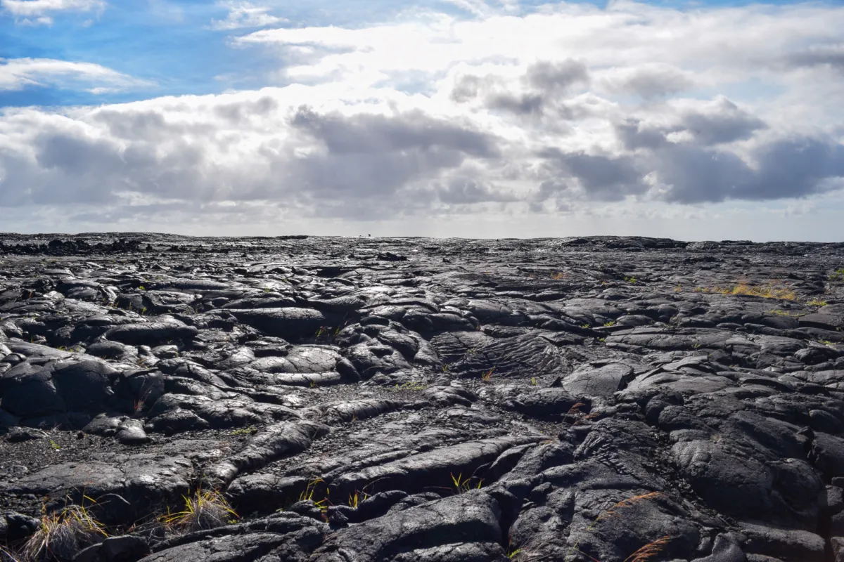
On the final morning, we awoke at first light, packing up and getting ready to hike out soon after sunrise. Our exit route followed the Puna Coast Trail back to the trailhead where we had left the rental car. This stretch is approximately 11.5 miles, with relatively little elevation change, but it should not be underestimated. We knew that a significant portion of the trail crosses hardened black lava flows, which makes footing uneven and slows progress. Combined with full sun exposure and limited shade, this section can feel long and physically demanding. Starting early is strongly recommended to avoid the midday heat and allow enough time to complete the hike at a steady pace.
Along the way I photographed the coast line and different parts of the trail, we came across a section of trail that almost looked man made. Like the stones has been placed perfectly to allow for a switchback descent.
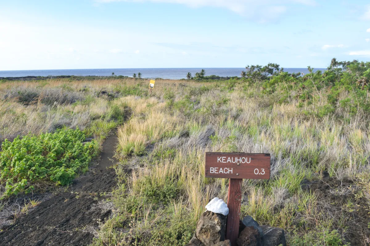
Continuing along the Puna Coast Trail, we passed the junction for Keauhou. The turnoff to the beach is about 0.3 miles, and although it was tempting to check it out, we stayed on route to keep on schedule and make it back to the car in time for Ryan’s evening flight.
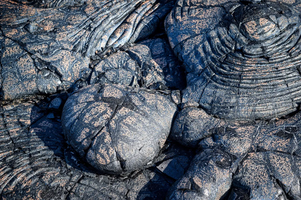
From there, the trail enters a series of lava fields. The first major section is primarily pāhoehoe lava, formed during the 1973 eruption. Pāhoehoe is a type of basaltic lava that cools into smooth, rolling, and often rope-like surfaces. While it can look relatively easy to walk on from a distance, it is still uneven and requires attention to footing. The flowing patterns and hardened waves of lava reminded me of the Mauna Ulu region inside Hawaiʻi Volcanoes National Park, which visitors can explore with a guide during the Kona Volcano National Park Tour.
The trail follows this terrain for roughly 1.5 miles before reaching ʻĀpua Point, where we stopped for a quick lunch under the shaded shelter. ʻĀpua Point offered a nice break, though it was noticeably windier than Halape and offered little natural wind protection. Even so, it stood out as a solid campsite option, and we all agreed it would be worth returning to for a future trip. Since it’s only 6.6 miles from the trailhead, we think it would be an easy overnight trip.
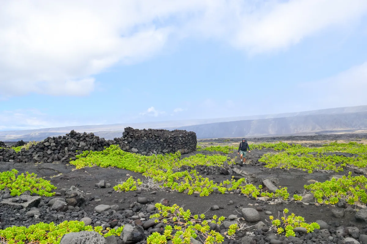
Back on the trail we passed several ancient Hawaiian sites, including large stacked lava rock structures set just off the path. This area around ʻĀpua was once an established coastal village in the Puna district of Hawaiʻi Island. The remains you see today are part of that history, with platforms and walls that were likely used for shelter, fishing, and daily life along the shoreline. The village was destroyed by a tsunami following the 1868 Hawaii earthquake and was never resettled. When passing through these areas, it’s important to be respectful. These are culturally significant sites, and hikers should avoid disturbing or walking on any of the structures.
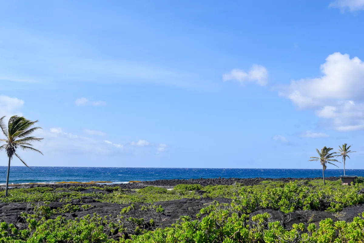
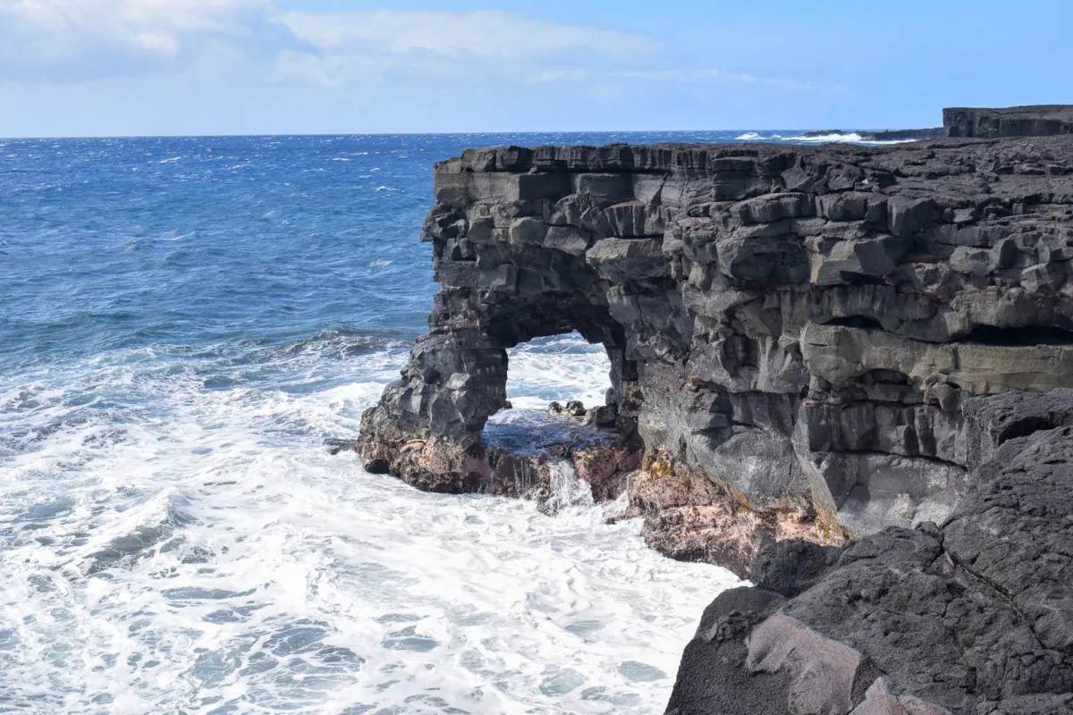
Along the way, we stopped to check out a large sea arch carved into the coastline. Wind-driven swell was actively crashing against the cliffs, and the constant sea spray covered us in salt while we took a short break.
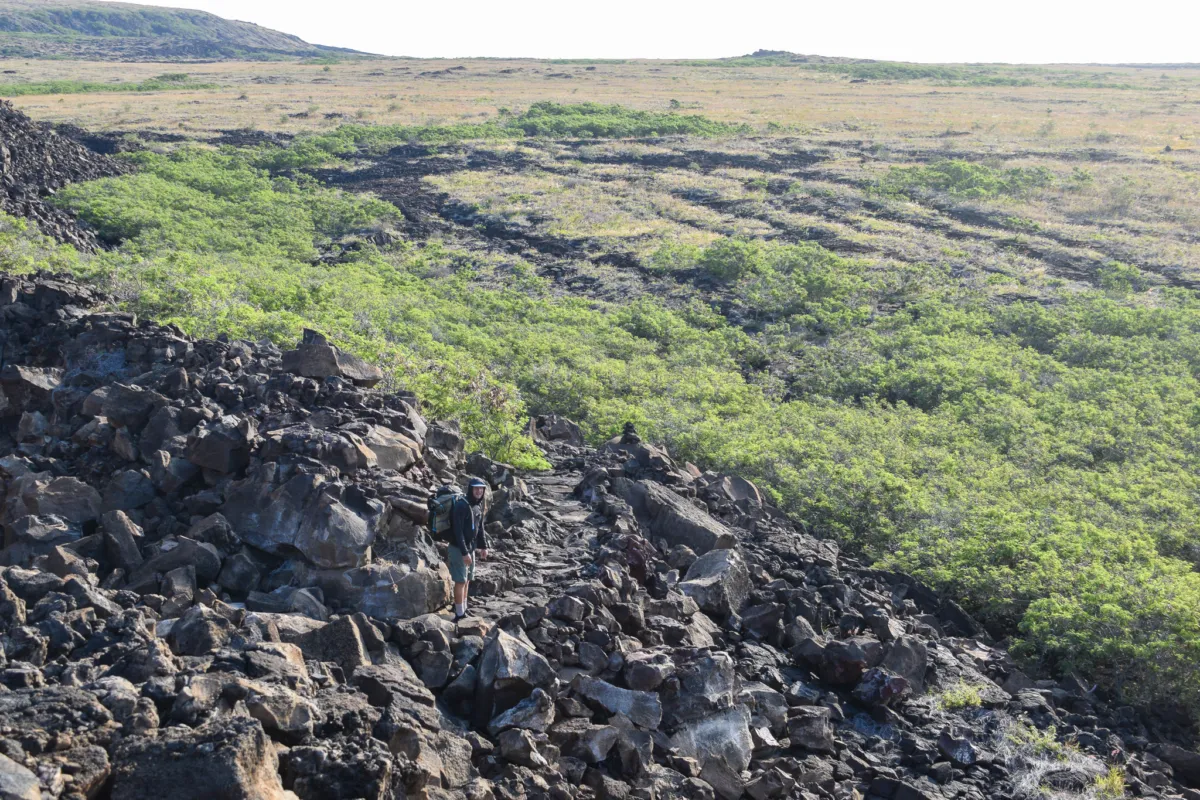
ontinuing on, the trail crosses into a 1971 lava flow dominated by ʻaʻā lava. ʻAʻā is a rough, jagged type of basaltic lava made up of sharp, broken rock. It is much more difficult to travel across than pāhoehoe, but along this section of the trail, the route has been cleared or compacted in places, making navigation and footing more manageable than it would otherwise be.
From there, it’s a steady push along the coastline until reaching the trailhead. By late morning, we made it back to the car, completing the hike. Next stop was well earned, burgers and beers at Volcano House. Aloha!